
Australia Map Quiz
How the Scales are Structured
Who Usually Takes This Test?
See How You Compare
Below is a preview of how scores are typically distributed across each scale.
Example Questions From the Test
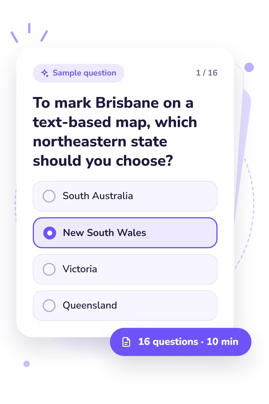
- South Australia
- New South Wales
- Victoria
- Queensland
- Queensland
- Western Australia
- Australian Capital Territory
- Northern Territory
- Australian Capital Territory
- Northern Territory
- Victoria
- Tasmania
Australia Map Quiz - Description and methodology of the test
People deciding whether to use this Australia Map Quiz can treat it as a practical check before planning study, teaching a lesson, travelling, or testing their recall. The result helps them decide whether their current knowledge is ready for a quick challenge or would benefit from more deliberate preparation. As an Australian states quiz, this test identifies how securely the respondent connects places with the jurisdictions they occupy.
What the Test Measures
This questionnaire checks practical knowledge of Australia’s internal political geography. It connects cities with jurisdictions and asks the respondent to reason from borders, coastlines, islands, and direction rather than recall isolated names. The quiz functions as an Australia states quiz, combining jurisdiction and capital knowledge with map relationships.
The result uses one scale, Australian States and Territories Knowledge (0-16). Correct answers place performance in Foundations to build (0-6), Developing map knowledge (7-12), or Strong map knowledge (13-16). These bands describe demonstrated map knowledge, not intelligence.
The result draws on these areas:
- Jurisdiction identification shows whether places belong to the correct state or territory.
- Capital knowledge links major cities with their jurisdictions.
- Border reasoning uses neighbouring and enclosed jurisdictions.
- Relative position reflects coastal, island, mainland, and directional relationships.
Methodology and Evidence Base
Each item presents a geographic situation with four answer choices, and the respondent selects the option that best fits the stated map relationship. Prompts cover capitals, neighbouring borders, coastal routes, island position, and the relative placement of mainland jurisdictions. Together, these features make the questionnaire a content-based, four-option online knowledge check rather than a standardized adaptation of the cited works. In this Australian map quiz, the displayed result is based on the number of correct answers.
The ACARA (2013) Australian states-and-territories mapping sample addresses location, borders, and spatial relationships; Van Noorden’s atlas and Bourke and Lidstone’s work provide context for Australian geographic content and mapping skills. These works are contextual sources, not the questionnaire’s instrument, scoring model, validation study, or theoretical framework.
Interpretation is descriptive rather than norm-referenced. Previous study, local knowledge, attention, and the wording of text-based map prompts can affect performance, so the result is best used to identify topics for review. Reviewing missed relationships helps identify which geographic connections need further study.
- Australian Curriculum, Assessment and Reporting Authority. Mapping - Australia and Its Neighbours: Geography, Year 3 Work Sample. Canberra: ACARA, May 2013.
- Van Noorden, Peter. Oxford Atlas for Australian Schools + obook assess. Oxford University Press, 2016. ISBN 9780190308223.
- Bourke, Terri, and John Lidstone. “Mapping Geographical Knowledge and Skills Needed for Pre-Service Teachers in Teacher Education.” SAGE Open 5, no. 1 (2015). DOI 10.1177/2158244015577668.
Updated: