
Southwest Asia Physical Map Quiz
How the Scales are Structured
Who Usually Takes This Test?
See How You Compare
Below is a preview of how scores are typically distributed across each scale.
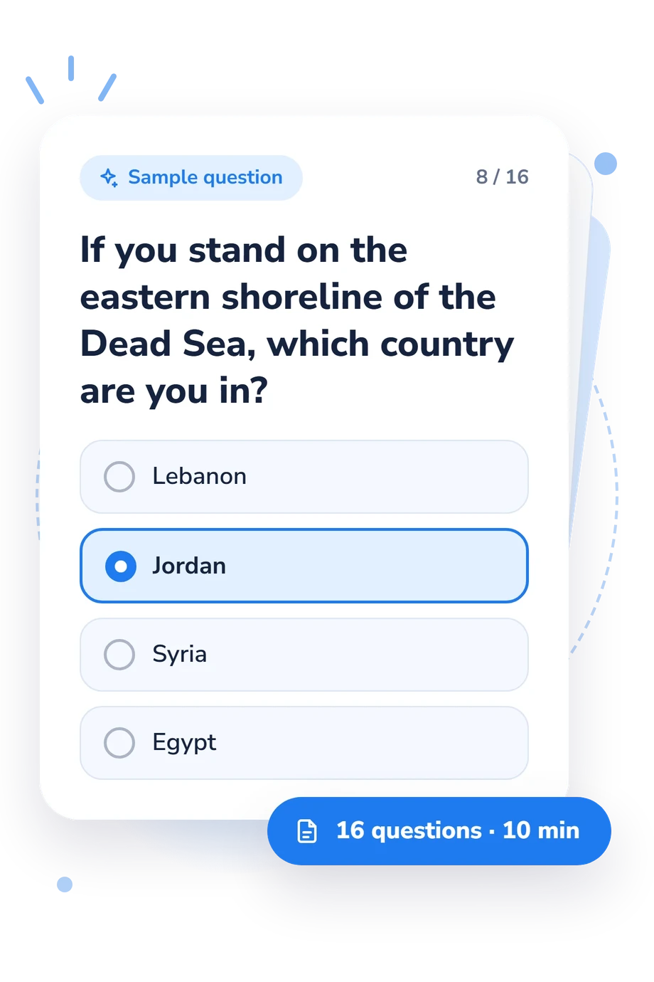
Example Questions From the Test
- Taurus Mountains
- Pontic Mountains
- Caucasus Mountains
- Zagros Mountains
- Jordan and Litani
- Kura and Aras
- Tigris and Euphrates
- Orontes and Seyhan
- Oman
- Qatar
- Yemen
- Jordan
Southwest Asia Physical Map Quiz - Description and methodology of the test
Designed for students, travelers, and curious learners, the sw asia physical map quiz checks whether you can connect written clues with locations across Southwest Asia. The southwest asia physical map quiz offers a focused snapshot of regional map knowledge rather than a broad geography grade. It can show whether your mental map is established, developing, or ready for more precise review.
What This Assessment Measures
The questions cover political locations and physical features that are commonly read together on a regional map. They ask you to identify countries, mountain ranges, rivers, seas, straits, and deserts from directional, coastal, neighboring, or spatial clues. As a Southwest Asia geography test, it emphasizes relationships between places rather than isolated vocabulary recall.
The result is reported on the Southwest Asia Physical Map Knowledge scale (0-16). It summarizes performance on the locations and features represented here, using these catalogue bands:
- Foundation (0-6) indicates recognition of some major locations, with borders, coastlines, or landforms needing review.
- Developing (7-12) shows a useful geographic framework while some routes or neighboring features remain less secure.
- Strong (13-16) reflects accurate identification from precise textual and spatial clues.
Methodology and Evidence Base
Each item presents one geographic problem with four answer choices, so the task combines recognition with elimination and comparison. A respondent may need to infer a location from a boundary, coastline, river course, neighboring country, or water passage. The assessment functions as a physical geography quiz for Southwest Asia, while its overall result condenses performance across this selected content.
Its framework is conceptually consistent with the Spatial Thinking Ability Test, especially the use of spatial relationships and location-based reasoning. Huynh and Sharpe’s geospatial thinking work and the National Research Council’s spatial-learning framework likewise support treating map knowledge as more than memorizing names. These sources offer broad theoretical context only; they provide no validation or standardization for this questionnaire.
Interpretation remains descriptive: the bands are not population norms, and performance may vary with prior coursework, regional familiarity, language comprehension, attention, and the clarity of each written clue. Use the score to identify topics for review; changes on later attempts may reflect familiarity with the questions as well as learning, and a single attempt cannot establish broad spatial ability.
- Lee, Jongwon, and Robert Bednarz. "Components of Spatial Thinking: Evidence from a Spatial Thinking Ability Test." Journal of Geography 111, no. 1 (2012): 15-26. 10.1080/00221341.2011.583262
- Huynh, Niem Tu, and Bob Sharpe. "An Assessment Instrument to Measure Geospatial Thinking Expertise." Journal of Geography 112, no. 1 (2013): 3-17. 10.1080/00221341.2012.682227
- National Research Council. "Learning to Think Spatially." Washington, DC: National Academies Press, 2006. 10.17226/11019
Updated: