
You Can't Say That Quiz
How the Scales are Structured
Who Usually Takes This Test?
See How You Compare
Below is a preview of how scores are typically distributed across each scale.
Example Questions From the Test
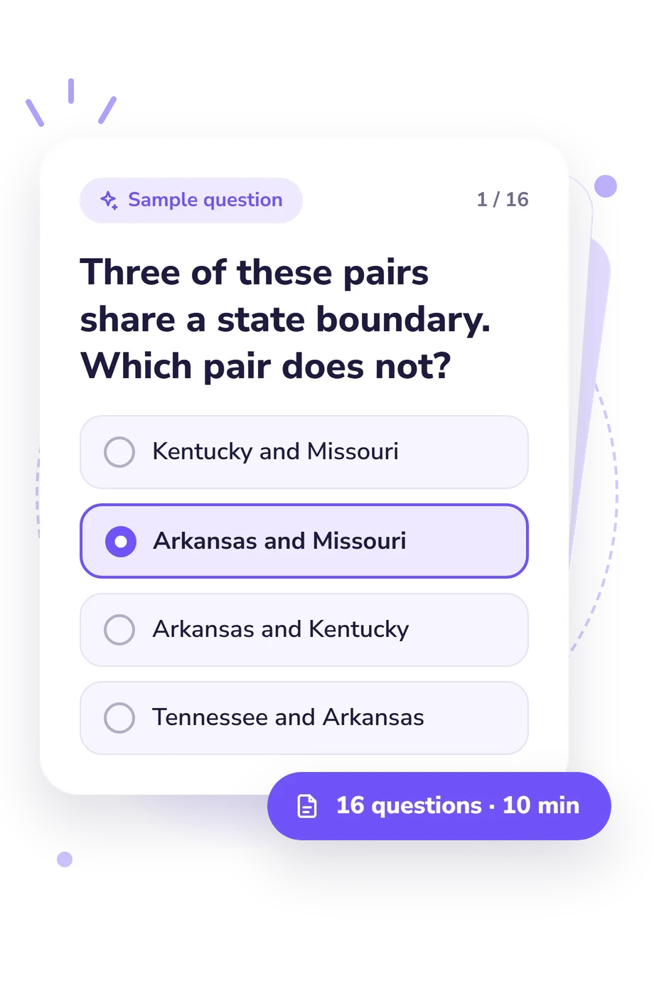
- Kentucky and Missouri
- Arkansas and Missouri
- Arkansas and Kentucky
- Tennessee and Arkansas
- Florida
- Washington
- California
- Maine
- West Virginia
- Maryland
- Pennsylvania
- Kentucky
You Can't Say That Quiz - Description and methodology of the test
People who enjoy map reasoning or want to refresh their knowledge of the United States can use Quiz You Can't Say That as a focused geography check. It turns familiar place names into relational problems, so the result reflects how confidently you interpret borders, routes, and elimination clues. As a state border knowledge test, it suits curious learners and geography students.
What This Assessment Explores
This U.S. state borders quiz measures U.S. state-border knowledge through questions that demand geographic recall and relational reasoning. Its prompts ask you to identify an exception, match several conditions, find a neighbor, or follow a route through an intervening state. The score reflects accuracy in U.S. state-border knowledge and in interpreting shared-boundary, route, and elimination clues, rather than separate scores for reasoning and recall.
The U.S. State Borders Knowledge result spans 0-16 points and falls into one of these bands:
- Border Basics (0-6) indicates partial recognition of state relationships and a need to review regional positions.
- Developing Navigator (7-12) shows useful border knowledge with some gaps in multi-clue comparisons.
- Border Expert (13-16) reflects consistent accuracy with shared-boundary, route, and elimination clues.
This is a text-based knowledge result, not an interactive map assessment, and it is useful for anyone checking their grasp of U.S. state adjacency.
Methodology and Evidence Base
Each item presents a prompt with four answer choices and one best answer. The wording uses boundary pairs, shared-neighbor conditions, directional positions, and travel sequences. A response is scored by whether it matches the correct geographic relationship; the total is then interpreted through the displayed bands as a knowledge result.
The questionnaire is an online, text-based knowledge exercise. The geographic-illiteracy study by Eve and colleagues offers the closest conceptual comparison; work by Allen and colleagues addresses geography learning in U.S. students. Zhu and colleagues examine place-location knowledge through structured spatial tasks, while the National Assessment Governing Board provides a framework for geography content and reasoning. These related studies provide conceptual context only; they do not establish norms, reliability, or validation for this questionnaire.
Viewed as a state geography quiz, it offers a snapshot of performance on text-based border clues rather than a measure of geographic ability. Results can be influenced by memory, wording, concentration, and familiarity with U.S. geography, so they should not be generalized to map-reading, navigation, or overall competence.
- Eve, Raymond A., Bob Price, and Monika Counts. (1994). Geographic Illiteracy among College Students. Youth & Society, 25(3), 408-427. 10.1177/0044118X94025003006
- Allen, Russell, Norman Bettis, Dana Kurfman, Walter MacDonald, Ina V. S. Mullis, and Christopher Salter. (1990). The Geography Learning of High School Seniors. Princeton, NJ: Educational Testing Service, National Assessment of Educational Progress. ED 313 317. ISBN 0-88685-097-5.
- Zhu, Liangfeng, Xin Pan, and Gongcheng Gao. (2016). Assessing Place Location Knowledge Using a Virtual Globe. Journal of Geography, 115(2), 72-80. 10.1080/00221341.2015.1043930
- National Assessment Governing Board. (2010). Geography Framework for the 2010 National Assessment of Educational Progress. Washington, DC: U.S. Department of Education.
Updated: