
History Map Quiz
How the Scales are Structured
Who Usually Takes This Test?
See How You Compare
Below is a preview of how scores are typically distributed across each scale.
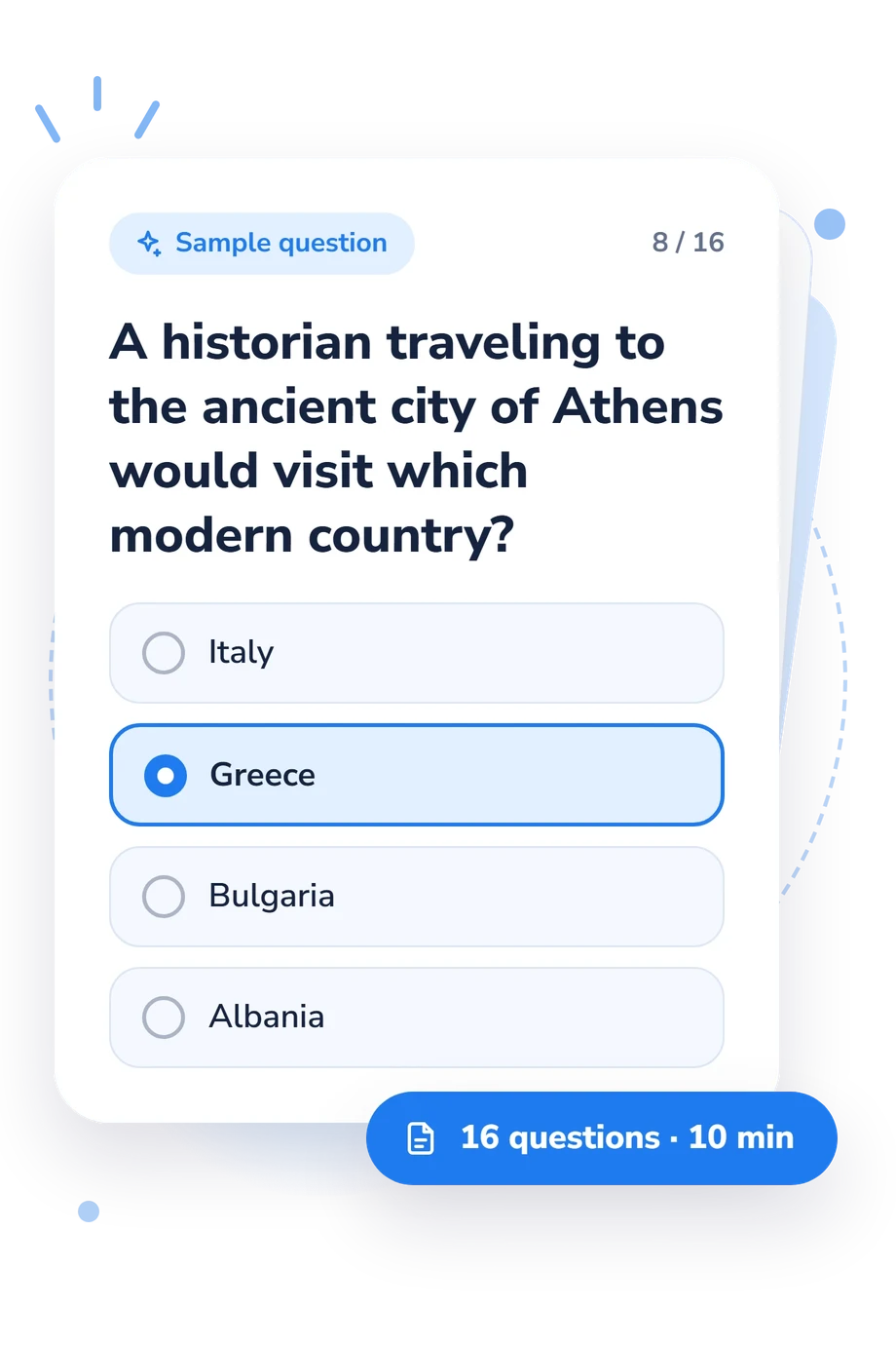
Example Questions From the Test
- Athens
- Alexandria
- Damascus
- Istanbul
- Western Germany
- Northern Spain
- Northern France
- Western Denmark
- Asia
- Australia
- South America
- North America
History Map Quiz - Description and methodology of the test
Readers who want to connect historical events with real places can use the history map quiz as a focused check of geographic knowledge. It suits learners, travelers, and history enthusiasts examining regional recall and translating clues about empires, routes, cities, and landscapes. Its broad coverage makes it a map quiz covering world history, giving a broad indication of location knowledge.
What This Assessment Explores
The questionnaire measures location knowledge at the intersection of history and geography. It asks you to place ancient cities, empires, sites, routes, islands, seas, and military landings on a modern map.
As a historical map quiz, it suits learners and enthusiasts examining regional recall and the physical features that shaped movement. Its coverage across several continents emphasizes breadth.
The questions use three kinds of location reasoning:
- Modern identification connects a historical name or site with the city or country occupying it today.
- Regional placement links civilizations and cultural centers with their correct broad area.
- Route and terrain reasoning shows how seas, mountains, and coastlines shaped movement and settlement.
Together, these patterns feed the World History Map Knowledge scale: 0-16, with Foundational (0-6), Developing (7-12), and Strong (13-16).
Methodology and Evidence Base
Each item presents a historical-geographic clue with four answer choices. Choosing the best-fitting place makes it a multiple-choice assessment of recognition and spatial association. The result reflects correct answers, not general intelligence or overall historical ability.
The questionnaire uses a history-and-geography quiz format that is conceptually consistent with location-knowledge research, especially Torrens (2001), which examined factors associated with knowing where places are located. Dunn (2011) links location knowledge with assessment and spatial thinking, while Henrie, Aron, Nelson, and Poole (1997) show that geography knowledge can vary across groups. These studies contextualize the construct; they do not make this questionnaire an adaptation of their instruments.
Interpret the displayed band as performance on these questions. It can identify locations to revisit through maps or further study, but the cited studies do not validate this questionnaire or establish population norms; the band remains a description of performance on this item set.
Scores may reflect schooling, travel, media exposure, regional familiarity, and current attention. Recognition from fixed options differs from explaining context or locating unfamiliar places without prompts, so use the result as a focused self-check rather than a diagnosis.
- Torrens, Paul M. (2001). Where in the world? Exploring the factors driving place location knowledge among secondary level students in Dublin, Ireland. Journal of Geography, 100(2), 49-60. 10.1080/00221340108978417
- Henrie, Roger L., Aron, Robert H., Nelson, Burton D., and Poole, Debra A. (1997). Gender-Related Knowledge Variations within Geography. Sex Roles, 36(9-10), 605-623. 10.1023/A:1025618024694
- Dunn, James M. (2011). Location Knowledge: Assessment, Spatial Thinking, and New National Geography Standards. Journal of Geography, 110(2), 81-89. 10.1080/00221341.2010.511243
Updated: