
Eastern States and Capitals Quiz
How the Scales are Structured
Who Usually Takes This Test?
See How You Compare
Below is a preview of how scores are typically distributed across each scale.
Example Questions From the Test
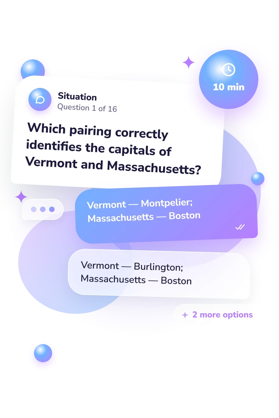
- Vermont — Montpelier; Massachusetts — Boston
- Vermont — Burlington; Massachusetts — Boston
- Vermont — Montpelier; Massachusetts — Springfield
- Vermont — Burlington; Massachusetts — Springfield
- Annapolis to Richmond
- Baltimore to Richmond
- Annapolis to Virginia Beach
- Baltimore to Virginia Beach
- Peoria
- Springfield
- Rockford
- Aurora
Eastern States and Capitals Quiz - Description and methodology of the test
People who want a focused way to review U.S. geography can use this eastern states and capitals quiz to check capital-city recall across a broad eastern region. Students, teachers, travelers, and curious learners can use this eastern states capitals quiz to review the region's capitals, gaining a practical snapshot rather than a history lesson. The result shows where recall is secure and where broader review may help.
What This Assessment Explores
The questions distinguish a state capital from a larger, more famous, or otherwise familiar city. They ask learners to identify capitals and complete paired matches across New England, the Mid-Atlantic, the Great Lakes, and the South. This makes the eastern state capitals test a regional check of geographic knowledge.
The main groups represented are:
- New England items check recognition of capitals overshadowed by better-known cities.
- Mid-Atlantic and Great Lakes items test recall across neighboring states.
- Southern items distinguish government centers from prominent cities.
- Paired matches show whether two relationships are held correctly at once.
All four groups feed one displayed scale, Eastern States and Capitals Knowledge (0-16). The result is labeled Foundations to build (0-6), Developing recall (7-12), or Strong recall (13-16), describing current recognition across this 26-state eastern-US set.
Methodology and Evidence Base
Each item offers four choices and uses recognition rather than free-response spelling. Some questions ask for one capital; others require a pair, and a paired item earns its point only when both matches are correct. This is an objective knowledge check, not a self-report inventory; the score counts fully correct responses without partial credit.
The closest conceptual source is Boundaries R Us: the questionnaire is consistent with its treatment of state boundaries and capital locations, but is not an adaptation of that work. The U.S. Geological Survey’s National Atlas States and Capitals supports the capital-location content. Geography for Life and Dorn and colleagues’ 2002 study provide general context, but neither establishes validity or norms for this questionnaire.
For a learner, this state capitals practice quiz gives a snapshot of recall under current conditions. Study, attention, distractors, confidence, and guessing can affect performance. No population norms or clinical classification are stated, so the bands describe this test’s knowledge levels rather than percentiles or diagnoses. The bands can indicate whether broader review of eastern state capitals may be useful.
- Ekiss, Gale B., and Michael Ostapuk. Boundaries "R" Us (Are U.S.): Looking at the Boundaries of States and Locations of State Capitals. Arizona Geographic Alliance, Arizona State University, n.d.
- U.S. Geological Survey. National Atlas States and Capitals. U.S. Department of the Interior, 2009.
- Geography Education Standards Project. Geography for Life: National Geography Standards 1994. Washington, DC: National Geographic Research & Exploration, 1994. ISBN 0-7922-2775-1.
- Dorn, Ronald, Gale B. Ekiss, Michael Ostapuk, and Cathy Davis. The Status of Geography Education in Arizona. International Research in Geographical and Environmental Education, 11(2), 171-176, 2002. DOI 10.1080/10382040208667478.
Updated: