
South Africa Map Quiz
How the Scales are Structured
Who Usually Takes This Test?
See How You Compare
Below is a preview of how scores are typically distributed across each scale.
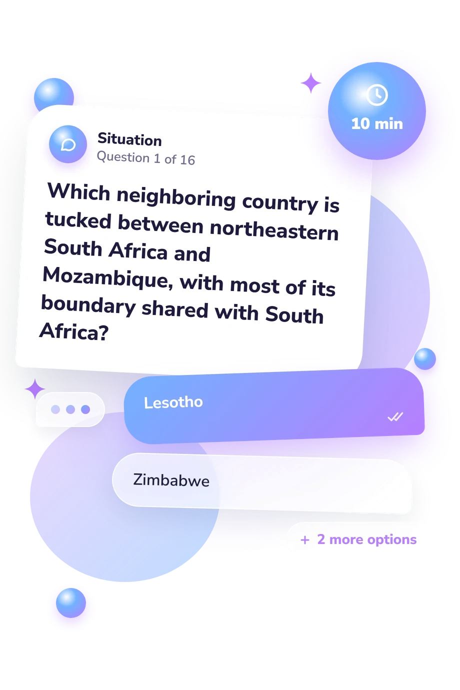
Example Questions From the Test
- Indian Ocean
- Southern Ocean
- Atlantic Ocean
- Mozambique Channel
- Indian Ocean
- Southern Ocean
- Atlantic Ocean
- Mozambique Channel
- Eastern Cape
- KwaZulu-Natal
- Western Cape
- Mpumalanga
South Africa Map Quiz - Description and methodology of the test
Readers who want to strengthen their grasp of South African geography can use the South Africa Map Quiz as a focused check of location knowledge. It suits learners, travelers, teachers, and anyone revising borders, provinces, cities, and coastlines. For revision, it works as a southern Africa map quiz that helps identify which spatial relationships feel secure before further atlas or classroom practice.
What This Assessment Explores
The questionnaire examines practical map literacy: recognizing neighboring countries, linking cities to provinces, identifying coastal oceans, following rivers and borders, and judging broad direction between major places. As a South Africa countries quiz, it emphasizes geographic placement rather than history or culture. The items also test spatial relationships, such as where a park, river, capital, or province lies.
The displayed scale is South Africa Map Knowledge (0-16), a text-based summary of the 16 items. Its result bands are:
- Foundations (0-6) indicates recognition of some features, with review useful for borders, provinces, and coasts.
- Developing Map Knowledge (7-12) shows many major features placed correctly, while some relationships remain to refine.
- Strong Map Knowledge (13-16) reflects accurate command of major locations and spatial relationships.
These bands describe performance on this content set, not every aspect of geographic reasoning or South African knowledge.
Methodology and Evidence Base
Each item uses a four-option multiple-choice format. Prompts ask for a country, border, ocean, province, river, city, or direction, combining recognition with simple spatial reasoning. In this map of South Africa quiz format, the task tests placement and relationships rather than written explanation.
Scoring counts correct responses and assigns the displayed band. These levels describe performance on this question set; they are not population norms or clinical cutoffs. Results can be influenced by classroom exposure, familiarity with place names, guessing, and attention during completion.
Conceptually, the questionnaire is consistent with the geography-assessment concerns discussed by Carow and Pretorius (2025), the map-literacy and spatial-cognition challenges examined by Larangeira and van der Merwe (2016), and the map-work approach presented by Schoeman (2024). These sources support treating location, direction, scale, and spatial relationships as meaningful geography skills, but this online questionnaire is not a direct adaptation of them.
When this southern Africa quiz leaves a few relationships uncertain, the result can guide revision, while atlas work, classroom tasks, or a broader assessment can examine geographic skills beyond these selected locations.
- Carow, Sanet, and Rudi Wessel Pretorius. “The spatiality of geography assessment questions: a case study of selected South African universities.” South African Geographical Journal 107, no. 3 (2025): 319-339. 10.1080/03736245.2024.2398423
- Larangeira, Rhoda, and Clinton David van der Merwe. “Map literacy and spatial cognition challenges for student geography teachers in South Africa.” Perspectives in Education 34, no. 2 (2016): 120-138. 10.18820/2519593X/pie.v34i2.9
- Schoeman, Thea. Map Work. UJ Press, 2024. 10.36615/9781776489138
Updated: