
City Skyline Quiz
How the Scales are Structured
Who Usually Takes This Test?
See How You Compare
Below is a preview of how scores are typically distributed across each scale.
Example Questions From the Test
- Sydney
- Auckland
- Vancouver
- Cape Town
- Cape Town
- Nairobi
- Johannesburg
- Durban
- Geneva
- Brussels
- Lyon
- Paris
City Skyline Quiz - Description and methodology of the test
Readers interested in geography, architecture, travel, or visual memory can use this assessment to connect familiar urban features with the cities they identify. The city skyline quiz focuses on recognition rather than specialist knowledge. It links individual landmarks with broader urban settings, making the activity suitable for curious participants. Its skyline quiz format offers a quick picture of which visual clues feel most familiar.
What This Assessment Explores
Items pair landmark names or silhouettes with rivers, bays, bridges, mountains, climate, and other features of urban form. The questions suit travelers, students, geography enthusiasts, and anyone curious about visual memory; specialist training is unnecessary. Locations span North America, Europe, Asia, Africa, Australia, and South America.
The result reflects four recognition dimensions:
- Landmark recognition shows whether a famous tower, building, bridge, or monument leads you to the correct city.
- Urban-form recognition shows how the arrangement of structures contributes to identification.
- Geographic context shows whether water, mountains, climate, or surrounding terrain narrows the choice.
- City Skyline Knowledge, scored from 0-16, places results in Emerging Recognition (0-6), Developing Skyline Knowledge (7-12), or Skyline Specialist (13-16) when iconic profiles and geographic distinctions are recognized strongly.
Questions about Seattle, Chicago, and New York City give this assessment a US city-skyline quiz dimension alongside its international coverage.
Methodology and Scientific Basis
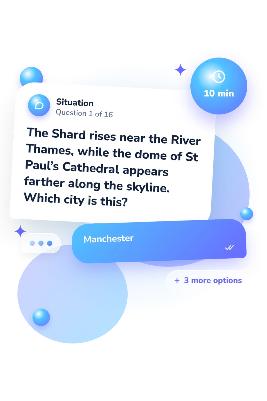
Each item presents a clue about a landmark, skyline, or setting and offers four city choices. You select the best match, and the questionnaire awards one point for each correct answer. The total therefore reflects the particular landmark-city associations tested, not a general measure of geographic ability.
Bruns and Chamberlain (2019) provide the closest conceptual comparison: their work examines how landmarks and urban form contribute to cognitive maps in virtual environments. Bartie, Mackaness, Petrenz, and Dickinson (2015) address how spatial and semantic relationships help people identify landmarks in urban scenes. Kevin Lynch likewise treats landmarks and city structure as elements in a city’s mental image. This questionnaire is conceptually consistent with those ideas, but it is not an adaptation of their instruments.
The US skyline quiz component is limited to recognizable American examples within a broader international set, so it should not be read as a separate national subscore. The displayed categories are descriptive labels for this questionnaire rather than published norms or clinical thresholds. Travel experience, media exposure, attention, and guessing can affect the total; interpret it as a snapshot of demonstrated recognition and a prompt for further exploration.
- Bruns, Conner R., and Brent C. Chamberlain. 2019. The influence of landmarks and urban form on cognitive maps using virtual reality. Landscape and Urban Planning 189: 296-306. 10.1016/j.landurbplan.2019.05.006
- Bartie, Phil, William Mackaness, Philipp Petrenz, and Anna Dickinson. 2015. Identifying related landmark tags in urban scenes using spatial and semantic clustering. Computers, Environment and Urban Systems 52: 48-57. 10.1016/j.compenvurbsys.2015.03.003
- Lynch, Kevin. 1960. The Image of the City. Cambridge, MA: MIT Press.
Updated: