
Ancient Rome Map Quiz
How the Scales are Structured
Who Usually Takes This Test?
See How You Compare
Below is a preview of how scores are typically distributed across each scale.
Example Questions From the Test
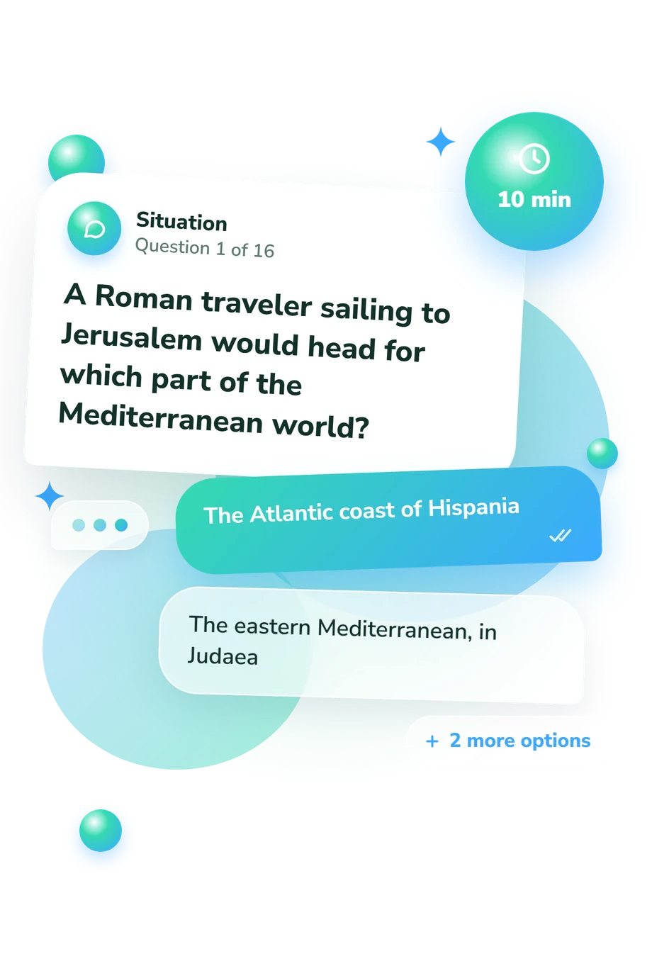
- The Atlantic coast of Hispania
- The eastern Mediterranean, in Judaea
- The western coast of Italy
- The northern coast of Gaul
- Across northern Britain, near Rome's frontier in Britannia
- Across central Italy, between Rome and the Po Valley
- Along the North African coast, west of Egypt
- Across Anatolia, south of the Black Sea
- Greece
- Egypt
- Portugal
- France
Ancient Rome Map Quiz - Description and methodology of the test
Designed for learners, history enthusiasts, and travelers curious about the Roman world, the Ancient Rome Map Quiz offers a focused way to check geographic understanding rather than memorized dates alone. This Rome map quiz asks whether you can connect places, directions, and physical features in a coherent picture of imperial space. The result highlights where your geographic knowledge is strongest and where review may help.
What This Assessment Explores
The questions test whether Roman place names form a connected geographic picture. They cover orientation, provinces, cities, waterways, frontiers, and journeys across the imperial world, helping learners who know some history place it more securely.
The main groups contributing to the result are:
- Regions and provinces show whether you can place Gaul, Hispania, Britannia, Dacia, and Aegyptus within the empire.
- Cities, landmarks, seas, and rivers reveal how you use Rome, Alexandria, Hadrian’s Wall, the Adriatic, Rhine, and Nile as anchors.
- Routes and directions indicate whether you can infer destinations from a starting point, bearing, or neighboring region.
Together, these tasks make an ancient Roman geography quiz about spatial relationships rather than chronology. The result uses Ancient Rome Map Knowledge, 0-16, with Building Foundations (0-6), Developing Map Command (7-12), and Strong Map Command (13-16).
Methodology and Evidence Base
Each item uses a text-based, multiple-choice format: a location, relationship, route, or directional problem is presented with four possible answers. The task is recognition and geographic reasoning, not a written explanation, so results reflect both retained facts and the ability to connect clues such as coastlines, rivers, and neighboring provinces.
The questionnaire is consistent with the map-centered organization in Cornell and Matthews’ atlas. Its geographic frame also aligns with Richard J. A. Talbert’s work on Greek and Roman cartography, Chris Scarre’s historical atlas of Rome, and Kai Brodersen’s study of ancient mapping. These sources support its geographic subject matter, especially locations, routes, and spatial relationships.
One knowledge result is reported with a displayed performance band; the questionnaire does not specify how each answer contributes to the total. A higher result indicates stronger geographic command, while a lower one identifies topics worth revisiting.
As a Roman geography test, it is best read alongside goals and familiarity with ancient history. Attention, prior exposure, ambiguous wording, and guessing can affect performance, so the score describes this attempt rather than a fixed measure of ability.
- Cornell, Tim, and John Matthews. Atlas of the Roman World. New York: Facts on File, 1982. ISBN 0871966522.
- Talbert, Richard J. A., ed. Barrington Atlas of the Greek and Roman World. Princeton, NJ: Princeton University Press, 2000.
- Scarre, Chris. The Penguin Historical Atlas of Ancient Rome. London: Penguin Books, 1995. ISBN 9780140513295.
- Brodersen, Kai. “Mapping (in) the Ancient World.” Journal of Roman Studies 94 (2004): 183-190. 10.2307/4135015.
Updated: