
Middle East Physical Features Quiz
How the Scales are Structured
Who Usually Takes This Test?
See How You Compare
Below is a preview of how scores are typically distributed across each scale.
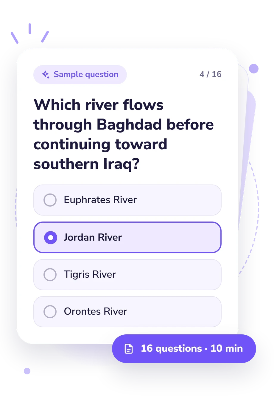
Example Questions From the Test
- Glacial excavation and direct exchange with the Mediterranean
- A tectonic depression, no ocean outlet, and strong evaporation
- River erosion and unrestricted flow to the Red Sea
- Volcanic damming and heavy year-round rainfall
- Euphrates River
- Jordan River
- Tigris River
- Orontes River
- Taurus Mountains
- Zagros Mountains
- Asir Mountains
- Pontic Mountains
Middle East Physical Features Quiz - Description and methodology of the test
Visitors who want to study Middle Eastern physical geography can use this assessment to examine how named landforms connect with their positions and physical relationships. The Middle East Physical Features Quiz is intended for learners and readers who want to understand how four-choice questions test physical-geography knowledge. Text-based questions make this Middle East physical map quiz an assessment of regional location and spatial relationships rather than a map-selection exercise.
What This Assessment Measures
It measures applied knowledge of Middle Eastern physical geography: locating features, linking them spatially, and using clues about terrain, drainage, elevation, and climate. It suits learners who use a middle east physical features map quiz to test geographic understanding rather than attitudes or personality. The assessment combines direct feature recognition with questions about routes, location, physical processes, and spatial relationships.
The following themes shape what the result reflects:
- Water bodies show whether you can distinguish gulfs, seas, and straits by position and connection.
- Rivers and drainage show how well you follow routes, basins, and outlets across borders.
- Mountains, plateaus, plains, and deserts show whether you recognize major landforms in their physical settings.
Results are reported through the Middle East Physical Features Knowledge scale (0-16). Building Foundations (0-6) indicates partial recognition; Developing Knowledge (7-12) indicates a useful framework with some gaps; Strong Knowledge (13-16) indicates consistent command of major features and spatial relationships.
Methodology and Evidence Base
Each item presents a geographic prompt with four answer choices, asking you to select the best explanation, location, route, or physical feature. The four-choice geography questions make this a physical map of middle east quiz, testing knowledge through location, sequence, and physical-process clues, asking you to reason about elevation, water movement, and mountain barriers. Scoring converts the selected responses into the displayed knowledge result, but the online questionnaire does not specify per-answer weighting or a comparison norm.
The content is conceptually consistent with the regional geography described by Beaumont, Blake, and Wagstaff, but this questionnaire is not an adaptation of that book. Goudie provides a relevant basis for interpreting desert landscapes and physical processes, while the National Geographic Society supports map-based location and regional relationships.
These sources support the subject matter, not psychometric standardization of this exact online form. The questionnaire is not presented with reliability estimates, population norms, or independent validation for its online version. Familiarity with the region, guessing, and concentration during completion can therefore affect the result, which is best used as a focused snapshot for study planning and self-reflection.
- Peter Beaumont, Gerald Henry Blake, and J. Malcolm Wagstaff. The Middle East: A Geographical Study. 2nd ed. New York: Halsted Press, 1988. ISBN 0-470-21040-0.
- Andrew S. Goudie. “The Middle East.” In Great Warm Deserts of the World: Landscapes and Evolution, 215-253. Oxford University Press, 2002. 10.1093/oso/9780199245154.003.0008.
- National Geographic Society. National Geographic Atlas of the Middle East. 2nd ed. Washington, DC: National Geographic, 2008. ISBN 978-1-4262-0221-6.
Updated: