
Latitude and Longitude Quiz
How the Scales are Structured
Who Usually Takes This Test?
See How You Compare
Below is a preview of how scores are typically distributed across each scale.
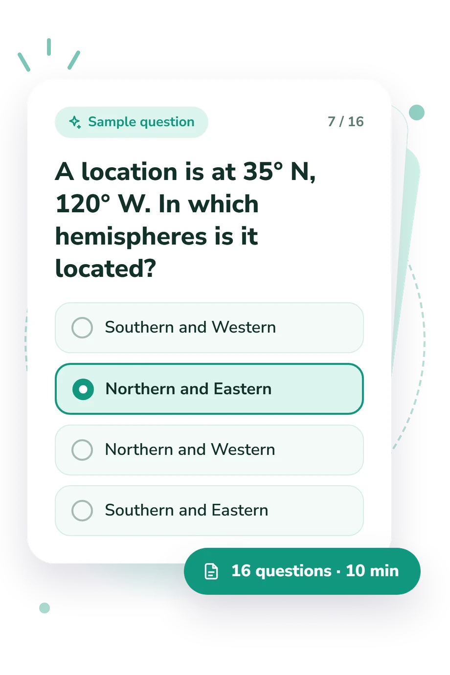
Example Questions From the Test
- The Prime Meridian
- The International Date Line
- The Tropic of Cancer
- The Equator
- 15 minutes
- One hour
- Two hours
- 30 minutes
- They have the same local solar time
- They are the same distance from the Prime Meridian
- They are in the same country or region
- They lie on the same parallel north or south of the Equator
Latitude and Longitude Quiz - Description and methodology of the test
For students, travelers, teachers, and curious adults, Latitude and Longitude Quiz offers a focused way to check practical understanding of Earth’s coordinate system. Its combined focus makes this latitude-and-longitude quiz a practical check: you identify reference lines, read positions, and reason about movement on a globe. The result is one overall knowledge band suggesting a broad level of understanding and possible review needs.
What This Test Measures
Questions test more than definitions: they ask you to identify reference lines, read coordinate notation, and reason about locations changing across Earth. A latitude quiz strand within this assessment asks you to read angular distance north or south of the Equator; alongside it, the test examines longitude, coordinate order, hemispheres, movement, and spatial application. These tasks cover the Equator, Prime Meridian, parallels, meridians, International Date Line, hemispheres, antipodes, and directional movement.
The themes are:
- Reference lines show whether you connect each line with the measurement it defines.
- Hemispheres and notation show whether you can interpret N, S, E, and W together.
- Movement and spatial reasoning show whether you can predict coordinate changes, directions, and antipodes.
The result uses Latitude and Longitude Knowledge (0-16): Foundations to Build (0-6), Developing Knowledge (7-12), and Strong Knowledge (13-16).
Methodology and Evidence Base
Each item presents a geographic situation with four answer choices. Some check definitions; others require comparison, directional reasoning, range checking, or a small calculation involving longitude and local solar time. This fixed-choice format tests usable knowledge across both dimensions. Questions about longitude form one part of the combined assessment alongside latitude, not a separate longitude quiz.
The questionnaire reports one aggregate result in a displayed performance band; item weighting and a separate scoring formula are not specified. It is a standalone online knowledge check, with no documented standardization, validation, or norms.
Its content is conceptually consistent with the 1991 study by Johnson and Gondesen, which links coordinate instruction with reference lines and coordinate relationships. Bartlett’s 2013 work, Bowditch’s 2019 work, and the 2017 study by Smith, Roman, and Hilla support angular position, meridians, poles, coordinate order, and valid ranges.
Because it is self-administered and fixed-choice, guessing, prior instruction, wording interpretation, and temporary lapses in recall can affect the result. Use the score as a focused guide to what to review next.
- Johnson, Peter C., and Mark E. Gondesen. "Teaching Latitude and Longitude in the Upper Elementary Grades." Journal of Geography 90, no. 2 (1991): 73-77. 10.1080/00221349108979239.
- Bartlett, David. "Coordinate Systems." In Essentials of Positioning and Location Technology, 13-31. Cambridge University Press, 2013. 10.1017/CBO9780511843860.002.
- Bowditch, Nathaniel. The American Practical Navigator: An Epitome of Navigation. 2019 edition. National Geospatial-Intelligence Agency, 2019.
- Smith, Dru, Dan Roman, and Steve Hilla. Blueprint for 2022, Part 1: Geometric Coordinates. NOAA Technical Report NOS NGS 62. National Geodetic Survey, 2017. 10.25923/sgsh-rm72.
Updated: