
150 Countries Quiz
How the Scales are Structured
Who Usually Takes This Test?
See How You Compare
Below is a preview of how scores are typically distributed across each scale.
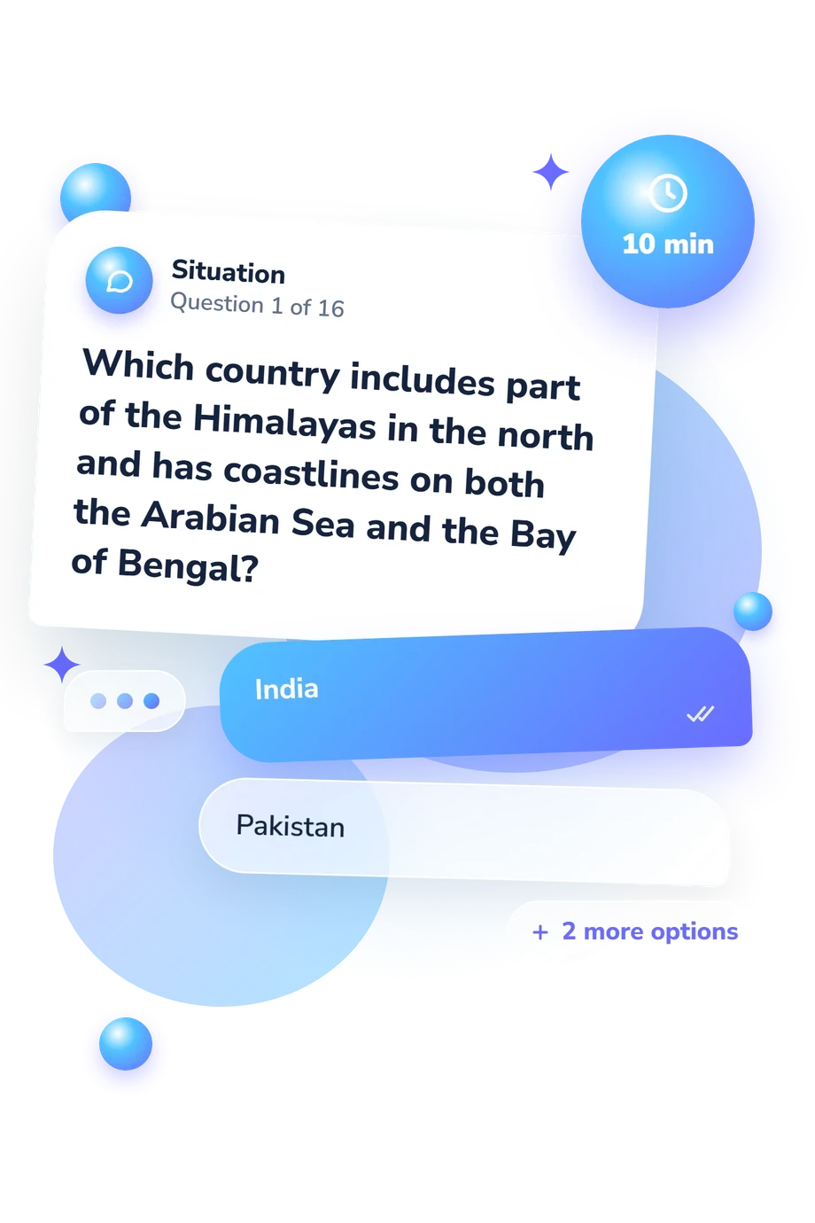
Example Questions From the Test
- India
- Pakistan
- Nepal
- Bangladesh
- Kazakhstan
- Turkmenistan
- Iraq
- Iran
- Brazil
- Argentina
- Peru
- Colombia
150 Countries Quiz - Description and methodology of the test
For anyone who enjoys maps, travel, or building general knowledge, the 150 Countries Quiz provides a short performance snapshot of country knowledge from geographic clues. It is suited to readers who want to see how their recall and map-based reasoning hold up across regions, whether for personal interest, classroom preparation, or study planning. As a world geography quiz, it turns individual answers into a concrete starting point.
What This Assessment Explores
The questions sample practical country knowledge through capitals, borders, coastlines, landlocked locations, regional position, physical geography, and country size or shape. Several combine clues, so the result reflects recognition and geographic reasoning.
Interpretation goes beyond the number correct: in this country identification quiz, the clue types that helped you answer can point to strengths in capital recall, knowledge of neighboring countries, or topics that deserve review.
The scale is 150 Countries Knowledge, 0-16, with these result bands:
- Foundations to build (0-6) indicates that country recognition is emerging while capitals, borders, and physical-geography clues offer study targets.
- Developing knowledge (7-12) shows a solid base for interpreting many country clues, with room to improve consistency.
- Strong knowledge (13-16) reflects accurate identification across varied regions and clue types.
This profile supports self-directed study without covering every nation.
Methodology and Scientific Basis
Each item presents a geographic clue with four answer choices, and the questionnaire awards one point for each correct response. The total is therefore a compact knowledge check: it summarizes keyed answers and places the result in a plain-language band. No extra weighting is specified.
The content is conceptually consistent with the Competency-Based Geography Test associated with Bettis, particularly its emphasis on usable geographic competencies. It also aligns with the longitudinal work of Bein, Hayes, and Jones and echoes the national geography standards framework of Bednarz and the NAEP geography framework. This questionnaire is not an adaptation or reproduction of those instruments. Its displayed bands are descriptive, not reference-population norms or validation for this online form; the sources support the choice of content areas and geographic reasoning tasks.
Interpretation remains modest: this geographic knowledge test is a snapshot from a short fixed-choice sample, not a measure of every country's geography. Guessing, prior education, travel, language, and regional familiarity can influence performance, so the score identifies study priorities; a later attempt offers only an informal personal comparison, not validated progress tracking.
- Bettis, Norman C. (1980). National Council for Geographic Education Competency-Based Geography Test, Intermediate Level. Macomb, IL: National Council for Geographic Education.
- Bein, F. L. (Rick), James J. Hayes, and Thomas G. Jones. (2009). Fifteen Year Follow-Up Geography Skills Test Administered in Indiana, 1987 and 2002. Journal of Geography, 108(1), 30-36. 10.1080/00221340902886798.
- Bednarz, Sarah Witham, Norman C. Bettis, Richard G. Boehm, Anthony R. De Souza, Roger M. Downs, James F. Marran, Robert W. Morrill, and Christopher L. Salter. (1994). Geography for Life: National Geography Standards. Washington, DC: National Geographic Research and Exploration.
- National Assessment Governing Board. (2010). Geography Framework for the 2010 National Assessment of Educational Progress. Washington, DC: U.S. Department of Education.
Updated: