
Eastern Europe Map Quiz
How the Scales are Structured
Who Usually Takes This Test?
See How You Compare
Below is a preview of how scores are typically distributed across each scale.
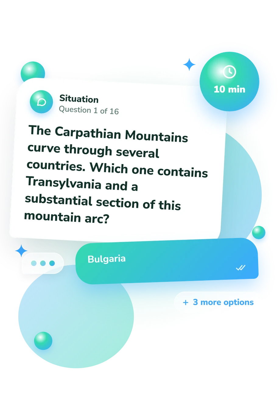
Example Questions From the Test
- Ukraine
- Hungary
- Poland
- Czechia
- Hungary
- Bulgaria
- Belarus
- Moldova
- Hungary
- Bulgaria
- Moldova
- Ukraine
Eastern Europe Map Quiz - Description and methodology of the test
People checking how they orient themselves across the region can use this eastern europe quiz to examine practical geographic knowledge. It suits learners, travelers, and curious readers who want a clearer picture of their map skills. The eastern europe map quiz connects country names, capitals, borders, rivers, and landmarks with relative positions. Its result identifies areas for further review.
What This Assessment Explores
The assessment suits readers checking Eastern European geography through relationships among places rather than isolated memorization. It can support study, travel preparation, or map-based self-reflection.
Because it focuses on country locations, this Eastern Europe geography test asks you to connect states with capitals, neighbors, coastlines, rivers, and relative positions. The task groups are:
- Country recognition identifies states from capitals, borders, and physical clues.
- Capital matching shows whether cities can be assigned to their countries.
- Direction and border reasoning measures how relative position guides an answer.
- Landmark interpretation uses rivers, mountains, seas, and transnational features as location evidence.
These tasks produce the displayed scale, Eastern Europe Knowledge: 0-16. Geographic Foundation 0-6 signals that borders, capitals, and relative locations may blur; Developing Map Sense 7-12 reflects a useful framework with finer gaps; Strong Regional Knowledge 13-16 indicates consistent country identification and textual-clue interpretation.
Methodology and Evidence Base
Each item presents a geographic clue followed by four answer choices, and the respondent selects the option that best fits the stated relationships. The four-choice format rewards comparing borders, locating landmarks, and translating verbal directions into a map judgment.
Scoring produces an overall result from the selected answers. The displayed categories describe performance on this questionnaire: they summarize how well you handled country, capital, border, landmark, and map-direction clues in changing regional contexts.
Some relational map tasks have a limited conceptual comparison with the Spatial Thinking Ability Test (STAT), which treats spatial thinking as a combination of abilities rather than one general talent. This questionnaire is not an adaptation or validation of STAT; its own items chiefly test Eastern European capitals, borders, and factual location clues.
The country set gives this eastern europe countries quiz a defined scope through the UN M49 regional grouping, including its handling of transcontinental countries. Prior learning, naming conventions, attention, and familiarity with maps can affect performance, so the result is best read as a current snapshot of regional knowledge.
- Lee, Jongwon, and Robert Bednarz. “Components of Spatial Thinking: Evidence from a Spatial Thinking Ability Test.” Journal of Geography 111, no. 1 (2012): 15-26. 10.1080/00221341.2011.583262
- United Nations Statistics Division. Standard Country or Area Codes for Statistical Use (M49). United Nations, Series M, No. 49, 1999; online edition continuously updated.
Updated: