
World Physical Features Map Quiz
How the Scales are Structured
Who Usually Takes This Test?
See How You Compare
Below is a preview of how scores are typically distributed across each scale.
Example Questions From the Test
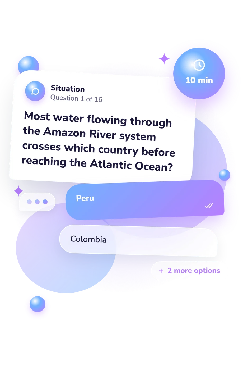
- Peru
- Colombia
- Brazil
- Bolivia
- The Caspian Sea
- The Black Sea
- The Aral Sea
- Lake Balkhash
- The Appalachian Mountains
- The Rocky Mountains
- The Cascade Range
- The Sierra Nevada
World Physical Features Map Quiz - Description and methodology of the test
Students, travelers, and curious learners who want to strengthen location-based geography can use this World Physical Features Map Quiz to check how accurately they connect landforms and waterways with regions. As a physical features quiz, it helps learners review how accurately they connect features with regions. The result provides a focused snapshot of recognition and spatial reasoning rather than a broad course grade.
What This Assessment Explores
The questions measure recognition of major physical features and the spatial relationships that place them on a world map. Prompts connect names with neighboring countries, coastlines, river routes, and directional clues. This physical features map quiz suits learners refreshing geography, building a mental map, or checking whether familiar names translate into accurate location knowledge.
These content groups are:
- Rivers and basins test links between drainage systems, continents, and surrounding land.
- Seas, lakes, and straits test recognition of connected waterways and narrow passages.
- Mountain systems test continental position and relationships to nearby routes.
- Deserts and plateaus test placement within wider regional patterns.
- Spatial clues test reasoning from borders, direction, coastlines, and movement.
The scale is World Physical Features Knowledge (0-16). Its bands are Foundations to build (0-6), Developing world map (7-12), and Strong global command (13-16), marking increasing accuracy and spatial command.
Methodology and Scientific Basis
Each item uses a geographic prompt and four answer choices, measuring selected-response accuracy rather than open-ended map drawing. Questions cover rivers, inland waters, mountain ranges, deserts, canals, straits, basins, and plateaus; many require linking a feature with its surrounding region. Together, the text-based world physical-geography quiz offers a snapshot of recall and basic spatial reasoning.
Scoring is presented as an overall accuracy result with no documented extra weighting, established norms, or validation data. Use the band to choose review topics: lower results can prompt work on major features and regional relationships, while higher results can lead to more precise location and spatial-clue practice.
Its content is conceptually consistent with the physical-geography coverage in work by Petersen and colleagues. Work by Hsu and colleagues on topographic-map skills and geomorphology concepts offers a relevant educational comparison, while the National Research Council's work emphasizes reasoning about location, relationships, and patterns. Together, these works provide context for the subject matter and spatial-learning rationale rather than documenting this questionnaire's scoring.
- Petersen, James F., Dorothy Sack, and Robert E. Gabler. Physical Geography. 11th ed. Cengage Learning, 2017.
- Hsu, Hsiao-Ping, Bor-Wen Tsai, and Che-Ming Chen. "Teaching Topographic Map Skills and Geomorphology Concepts with Google Earth in a One-Computer Classroom." Journal of Geography, vol. 117, no. 1, 2018, pp. 29-39. 10.1080/00221341.2017.1346138.
- National Research Council. Learning to Think Spatially: GIS as a Support System in the K-12 Curriculum. The National Academies Press, 2006. 10.17226/11019.
Updated: