
North and South America Map Quiz
How the Scales are Structured
Who Usually Takes This Test?
See How You Compare
Below is a preview of how scores are typically distributed across each scale.
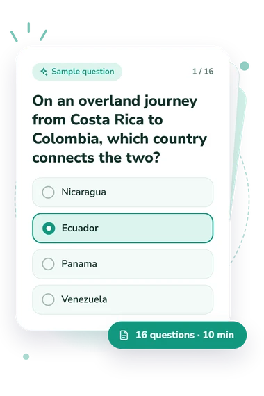
Example Questions From the Test
- Nicaragua
- Ecuador
- Panama
- Venezuela
- Honduras
- Belize
- Costa Rica
- Panama
- Ecuador
- Venezuela
- Suriname
- Peru
North and South America Map Quiz - Description and methodology of the test
For learners, teachers, travellers, and curious adults, the North and South America Map Quiz checks country-location knowledge across the region. The quiz covering North and South America tests borders, coastlines, and neighboring relationships, while the result indicates overall performance. The result gives a practical profile of country-location knowledge without requiring an interactive map or specialist terminology.
What This Assessment Measures
The questions identify countries by relative position, shared borders, coastlines, islands, and routes across North, Central, and South America. Some involve neighboring routes; others link a country to a sea, border, or shape. The emphasis is geographic orientation, not capitals, flags, or history.
For learners seeking regional knowledge, the geography quiz covering North and South America focuses on map relationships. The displayed scale is North and South America Map Knowledge, scored from 0 to 16 by counting correct answers. The result uses three bands:
- Foundational (0-6) indicates recognition of some major locations, while review may help with positions and borders.
- Developing (7-12) shows familiarity with many areas, with possible gaps around neighboring or smaller countries.
- Strong (13-16) reflects consistent command of locations, coastlines, and border relationships across the Americas.
It is a text-based knowledge result, not an interactive-map assessment.
Methodology and Evidence Base
Each item presents a geographic situation followed by four answer choices. The respondent selects the country fitting stated borders, direction, coast, island, or route. These prompts cover continental position, neighboring countries, coastal access, island geography, and overland connections. Because it is a text-based test of map knowledge across the Americas, success depends on connecting locations rather than manipulating a digital map.
Scoring is direct: the result counts correct answers and places the total in fixed interpretation bands. The displayed score is interpreted through those bands; they describe current performance but do not compare it with a norm group.
The content is conceptually consistent with research by Friedman and deWinstanley on mental representations of countries and with Koç and Demir’s map-literacy measure. These sources support the relevance of country relationships and geographical reasoning; this questionnaire is not presented as an adaptation or validation of either instrument.
Online performance can be affected by attention, guessing, prior study, and testing context. The result is therefore a focused snapshot of text-based country-location knowledge, while broader geographic ability would require additional tasks.
- Friedman, William J., and Patricia A. deWinstanley. "The mental representation of countries." Memory 14, no. 7 (2006): 853-871. 10.1080/09658210600782925
- Koç, Hakan, and Selçuk Beşir Demir. "Developing Valid and Reliable Map Literacy Scale." Review of International Geographical Education Online 4, no. 2 (2014): 120-137.