
Midwest States Quiz
How the Scales are Structured
Who Usually Takes This Test?
See How You Compare
Below is a preview of how scores are typically distributed across each scale.
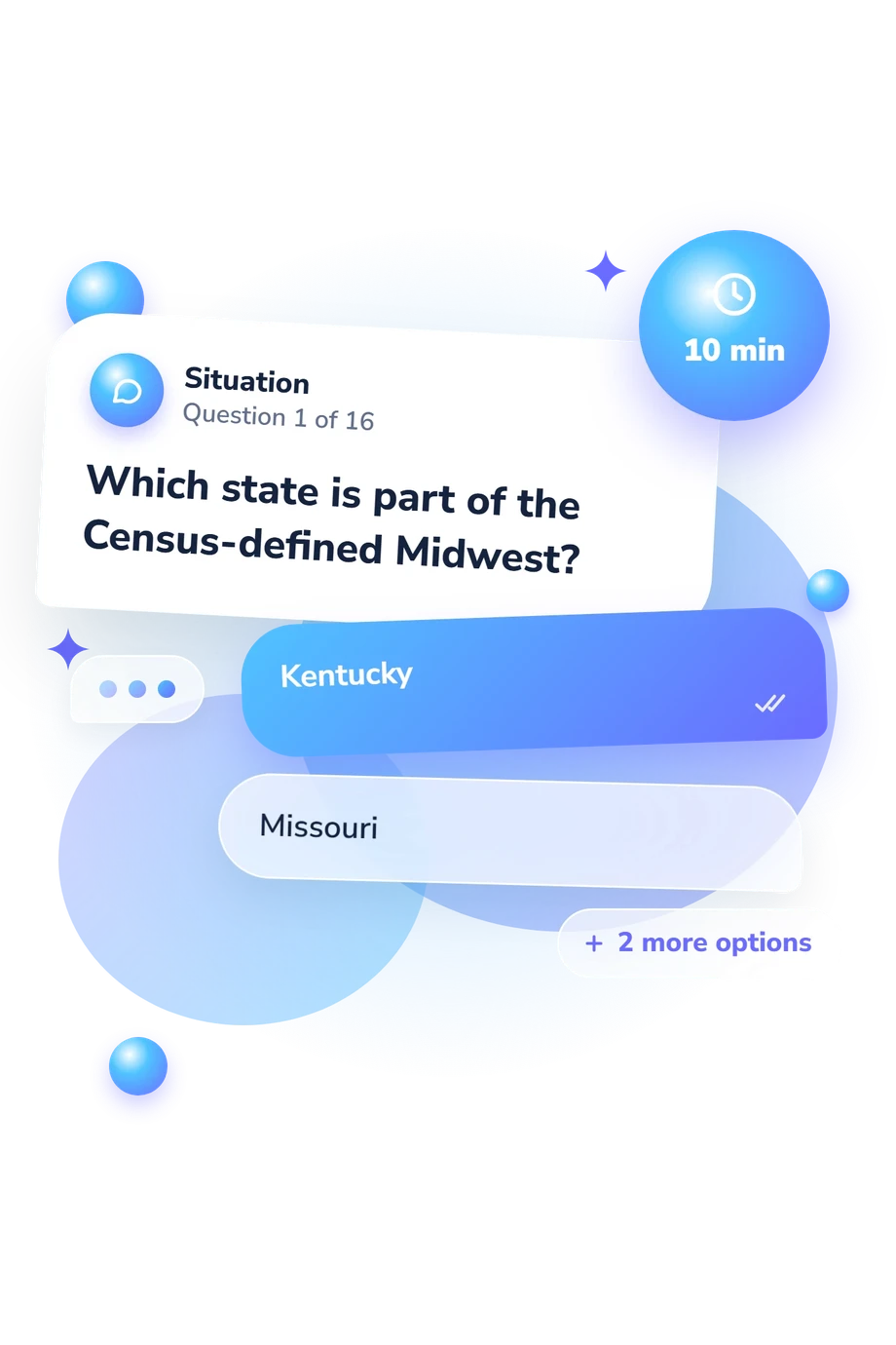
Example Questions From the Test
- Kentucky
- Missouri
- Tennessee
- Oklahoma
- Wisconsin
- Michigan
- Minnesota
- Ohio
- Missouri
- Mississippi
- Minnesota
- Michigan
Midwest States Quiz - Description and methodology of the test
Readers examining a possible gap in their knowledge of the central United States can use the Midwest States Quiz to test one overall level of geography knowledge. The result summarizes performance across the Census-defined twelve-state region rather than separate abilities, while the questions examine borders, capitals, divisions, waterways, and location clues. This Midwest quiz shows how confidently the region’s states fit together in a single geographic picture.
What This Assessment Explores
The questions examine practical geographic knowledge rather than attitudes or personality. They ask you to identify the twelve states in the Census Bureau’s Midwest and reason from borders, routes, capitals, abbreviations, lakes, and river crossings. Map-related knowledge in this Midwest map quiz is addressed through text-based questions about locations and spatial relationships, not through a visual map.
The recurring task types show what the result covers:
- Regional membership and divisions appear in questions about placing states in the correct Midwest grouping.
- Borders and routes appear in clues that ask you to infer neighboring states from shared boundaries and travel.
- Capitals and abbreviations connect official labels with the states named in the questions.
- Lakes and rivers provide landmark clues about shorelines, waterways, and geographic location.
Together, these themes contribute to one overall estimate of Midwest geography knowledge rather than separate strengths.
Methodology and Evidence Base
Each item presents a question with four answer choices. Some require direct recognition, while others ask you to combine clues involving capitals, borders, routes, or regional divisions. In this midwestern states quiz, the questions check knowledge of the region’s borders, divisions, and landmarks while combining factual recall with simple spatial reasoning.
The factual framework follows the U.S. Census Bureau’s Census Regions and Divisions, including its twelve-state Midwest definition. The questionnaire is conceptually consistent with regional geography discussed by Benton-Short, Short, and Mayda. USPS Publication 28 supports the two-letter abbreviation items, while Shortridge’s study provides historical context for the “Middle West” label; this assessment uses the Census classification for its boundaries.
Interpretation stays tied to facts represented by the questions, including membership, boundaries, divisions, capitals, abbreviations, lakes, and river crossings. The result is one overall score: Midwest States Knowledge, 0-16, with Foundations to Build (0-6), Developing Knowledge (7-12), and Strong Knowledge (13-16). These bands describe performance on this question set. Schooling, travel experience, familiarity with U.S. geography, and current recall can affect the outcome.
- U.S. Census Bureau. Census Bureau Regions and Divisions with State FIPS Codes. Washington, DC: U.S. Census Bureau, n.d.
- Benton-Short, Lisa, John Rennie Short, and Chris Mayda. A Regional Geography of the United States and Canada: Toward a Sustainable Future. 2nd ed. Lanham, MD: Rowman & Littlefield, 2018. ISBN 9781442277199.
- United States Postal Service. Publication 28: Postal Addressing Standards. Appendix B: Two-Letter State and Possession Abbreviations. Washington, DC: United States Postal Service, October 2024.
- Shortridge, James R. The Emergence of “Middle West” as an American Regional Label. Annals of the Association of American Geographers, 74(2), 209-220, 1984. 10.1111/j.1467-8306.1984.tb01449.x
Updated: