
Central Asia Map Quiz
How the Scales are Structured
Who Usually Takes This Test?
See How You Compare
Below is a preview of how scores are typically distributed across each scale.
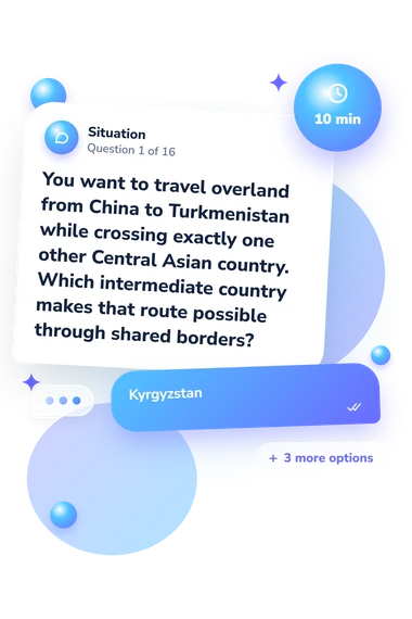
Example Questions From the Test
- Kyrgyzstan
- Uzbekistan
- Tajikistan
- Turkmenistan
- Dushanbe
- Ashgabat
- Bishkek
- Khujand
- Kyrgyzstan
- Uzbekistan
- Kazakhstan
- Turkmenistan
Central Asia Map Quiz - Description and methodology of the test
Readers deciding whether to check their regional knowledge can use this central asia map quiz as a focused geography assessment. It suits people who want to test their grasp of Central Asia before choosing whether more study would help. As a Central Asia quiz focused on regional geography, it offers a compact way to make that decision without turning the task into a broad survey.
What This Assessment Explores
The format suits learners checking regional geography, not attitudes or symptoms. It asks you to identify the five countries, match capitals to states, infer positions from borders, and recognize features including the Aral Sea, Pamir Mountains, Caspian coast, and Fergana Valley. As a Central Asia geography test, it rewards connected regional knowledge: one location can help explain another.
The result combines these abilities in one catalogue scale:
- Country recognition shows whether you can distinguish the five states.
- Capital knowledge measures how accurately you pair cities with countries.
- Border reasoning shows how neighboring states guide location judgments.
- Physical-feature awareness covers inland waters, mountains, valleys, and coastlines.
- Central Asia Knowledge spans 0-16 correct answers: Emerging (0-6) reflects some recognition with possible confusion; Developing (7-12) shows a useful but incomplete regional picture; Strong (13-16) indicates accurate identification of the five countries and most spatial clues.
Methodology and Evidence Base
Each item presents a prompt with four answer choices. You select the country, capital, border relationship, or physical feature that fits the clue; correct responses are added to the total. The bands convert the score into a level of regional familiarity.
The questionnaire is conceptually consistent with Central Eurasian Atlas (Brunn et al., 2012), which provides reference points for regional countries, boundaries, cities, and physical setting. It is also consistent with Huynh and Sharpe (2013), whose geospatial-thinking research offers related conceptual context for using spatial relationships and location clues. That study does not validate this questionnaire or establish expertise from its score; this quiz is not presented as an adaptation of either publication.
Read the result as a snapshot of map-based knowledge. Education, travel, language, concentration, and familiarity with place names can affect performance, while the limited item set leaves some knowledge untested. Viewed as a Central Asia geography quiz, the result uses catalogue-defined descriptors and works as a broad prompt for review. Use the score to direct attention to borders, capitals, and physical features; it suggests what to study next, but not why an answer was missed.
- Brunn, Stanley D., Stanley W. Toops, and Richard Gilbreath. The Routledge Atlas of Central Eurasian Affairs. 1st ed. Routledge, 2012, 184 pp. 10.4324/9780203118566.
- Huynh, Niem Tu, and Bob Sharpe. “An Assessment Instrument to Measure Geospatial Thinking Expertise.” Journal of Geography 112, no. 1 (2013): 3-17. 10.1080/00221341.2012.682227.