
Southeast States Quiz
How the Scales are Structured
Who Usually Takes This Test?
See How You Compare
Below is a preview of how scores are typically distributed across each scale.
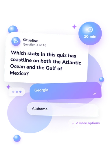
Example Questions From the Test
- Georgia
- Alabama
- Florida
- South Carolina
- Atlantic Ocean
- Gulf of Mexico
- Chesapeake Bay
- Caribbean Sea
- Kentucky
- South Carolina
- Mississippi
- Arkansas
Southeast States Quiz - Description and methodology of the test
Students, travelers, and curious adults who want to check their regional geography can use this assessment to connect state knowledge with practical map reading. The southeast states quiz focuses on recognizing relationships among places rather than recalling isolated facts. A southeast quiz result can show which parts of the region feel secure and which topics would benefit from another look.
What This Assessment Measures
Questions link state names with capitals, coastlines, borders, water bodies, parks, mountains, and landmarks. The assessment suits anyone checking practical Southeast geography.
For a broad audience, it functions as a southeast region quiz focused on relationships among places. These questions reward spatial reasoning as well as recall. Route problems also make it a southeast map quiz. The main themes are:
- State locations and borders show whether you can identify neighbors and routes.
- Capitals connect states with their seats.
- Coastlines and water bodies link states with the Atlantic or Gulf of Mexico.
- Landmarks and physical regions reveal familiarity with parks, mountains, and barrier islands.
The result uses one scale, Southeast States Knowledge (0-16): Building Foundations (0-6) indicates basic recognition, Developing Knowledge (7-12) reflects a solid framework with room to strengthen gaps, and Strong Knowledge (13-16) signals accurate command of the regional scope.
Methodology and Evidence Base
Each item presents a geographic prompt with four answer choices. Some ask for direct identification, while others require a short inference: linking a capital to its state, locating a neighbor, matching a landmark, or distinguishing Atlantic from Gulf coastline. The format therefore checks applied recall as well as recognition.
Every correct response adds one point, and the total is the number of answers identified correctly. The scoring is unweighted, so capitals, borders, landmarks, and physical geography contribute equally to the combined knowledge snapshot.
The content is conceptually consistent with Birdsall and Florin (1998), whose regional-geography framework emphasizes landscapes and relationships among places. The 1976 U.S. Geological Survey map supports the state-and-water geography represented here, and Rhode Island’s 2023 standards align with map use, location, boundaries, and geographic reasoning. Turner and Leydon (2012) is relevant to online quizzes for geographic literacy, but does not validate this questionnaire.
A southeastern states quiz result is best treated as a structured educational knowledge check rather than a standardized measure. Prior schooling, travel, familiarity with place names, and guessing can affect performance, so missed topics are more useful guides for review than the band as a fixed measure of ability.
- Birdsall, Stephen S., and John W. Florin. An Outline of American Geography: Regional Landscapes of the United States. Washington, DC: U.S. Department of State, Bureau of International Information Programs, 1998.
- Rhode Island Department of Education. Rhode Island Social Studies Standards: Kindergarten through High School. Endorsed February 2023, pp. 78-80.
- Geological Survey (U.S.). National atlas: Southeastern States. Reston, VA: U.S. Geological Survey, 1976. Map.
- Turner, Sally, and Joseph Leydon. Improving Geographic Literacy among First-Year Undergraduate Students: Testing the Effectiveness of Online Quizzes. Journal of Geography 111, no. 2 (2012): 54-66. 10.1080/00221341.2011.583263.