
City Quiz
How the Scales are Structured
Who Usually Takes This Test?
See How You Compare
Below is a preview of how scores are typically distributed across each scale.
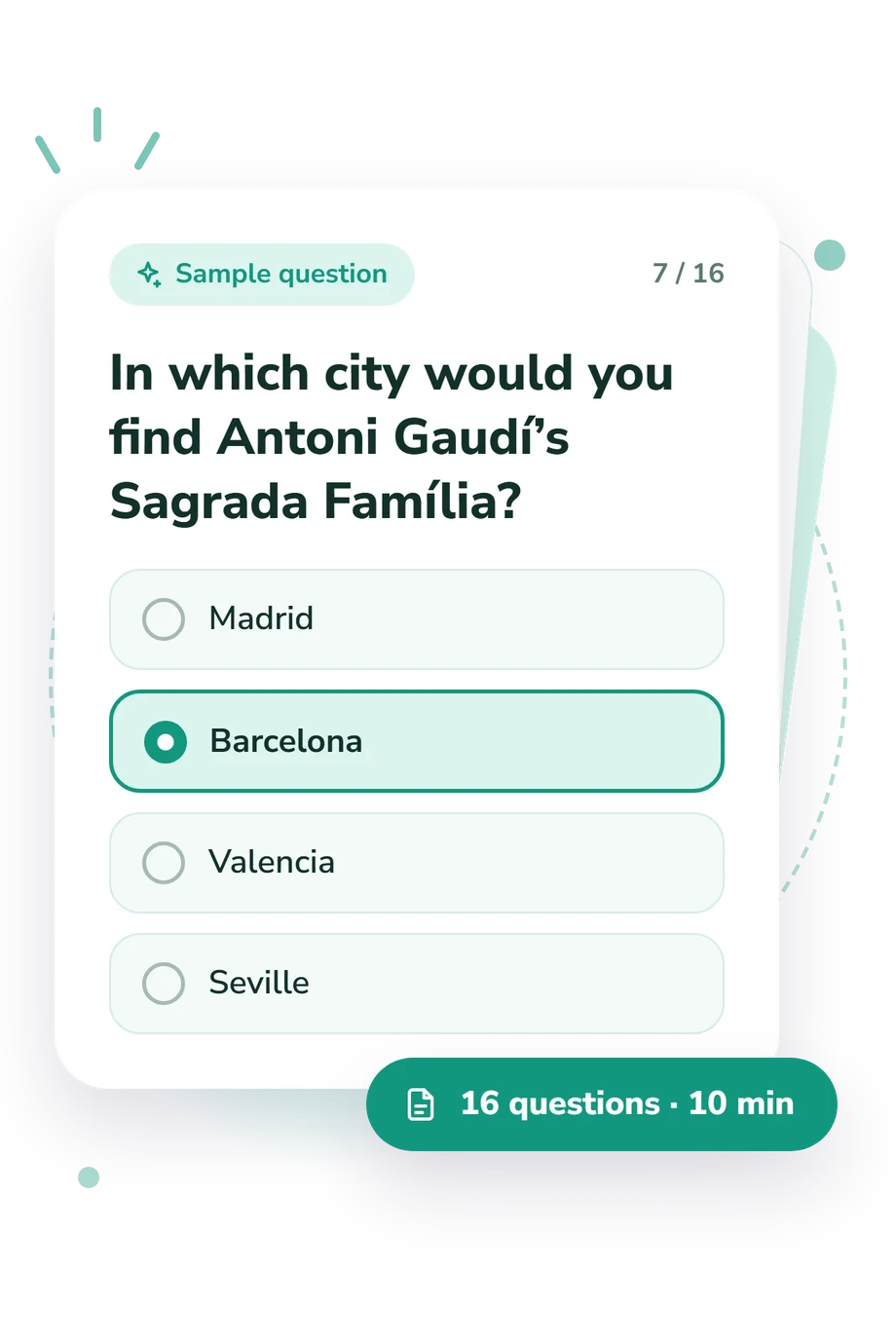
Example Questions From the Test
- Porto
- Bilbao
- Lisbon
- Marseille
- Bandar Seri Begawan
- Kuala Lumpur
- Singapore
- George Town
- Kyoto
- Osaka
- Sapporo
- Tokyo
City Quiz - Description and methodology of the test
For travelers, students, and curious map readers, this assessment offers a focused way to examine how readily you connect familiar urban clues with the places they identify. The city quiz is intended for people who want a quick picture of practical geographical recognition, not a personality profile. It also works as a city map quiz for reflecting on travel knowledge, landmark familiarity, and spatial awareness.
What This Assessment Explores
The questions measure cities through landmarks, rivers, capitals, climate, culture, and global position. They suit readers interested in travel or geography who enjoy matching places to distinctive clues.
The result reflects city identification, not navigation skill, map drawing, or complete world geography. In a guess the city format, each answer must fit the description, such as a landmark, river, strait, latitude, or urban tradition.
The item themes cover four areas:
- Landmark recognition shows how readily you connect famous structures and cultural sites with their home cities.
- Capital identity distinguishes national capitals, city-states, and major urban centers.
- Physical geography links cities with rivers, coasts, elevation, latitude, and straits.
- Urban context recognizes museums, transit systems, historic districts, and other local signals.
City Knowledge reports a score from 0-16: City Starter is 0-6, Urban Explorer is 7-12, and City Savvy is 13-16.
Methodology and Scientific Basis
Each item gives a geographic or landmark clue with four city choices. The format asks you to name the city from the clues, so performance depends on recognizing combined details rather than recalling an isolated fact. The result remains one scale.
Responses form one total and fall into the three descriptive bands shown above. No separate weighting system, item-level formula, or population norm is stated, so this is a structured snapshot rather than a standardized measurement with universal cutoffs. It can support informal learning and self-reflection as a cities quiz game.
Saarinen and MacCabe (1995) connected geographic literacy with organizing places in spatial context; this questionnaire is consistent with that focus but is not a sketch-map adaptation. Tranel, Enekwechi, and Manzel (2005) examined landmark recognition and naming, paralleling its urban cues without making this test their instrument. Lynch’s framework adds that memorable landmarks and spatial features help cities become legible.
Travel exposure, language, education, and attention can influence the result; the sources support clue design, not validation of this questionnaire.
- Saarinen, Thomas F., and Charles L. MacCabe. "World Patterns of Geographic Literacy Based on Sketch Map Quality." The Professional Geographer, 47(2), 196-204, 1995. 10.1111/j.0033-0124.1995.00196.x
- Tranel, Daniel, Nonso Enekwechi, and Ken Manzel. "A Test for Measuring Recognition and Naming of Landmarks." Journal of Clinical and Experimental Neuropsychology, 27(1), 102-126, 2005. 10.1080/138033990513663
- Lynch, Kevin. The Image of the City. MIT Press, 1960.
Updated: