
Europe Bodies of Water Quiz
How the Scales are Structured
Who Usually Takes This Test?
See How You Compare
Below is a preview of how scores are typically distributed across each scale.
Example Questions From the Test
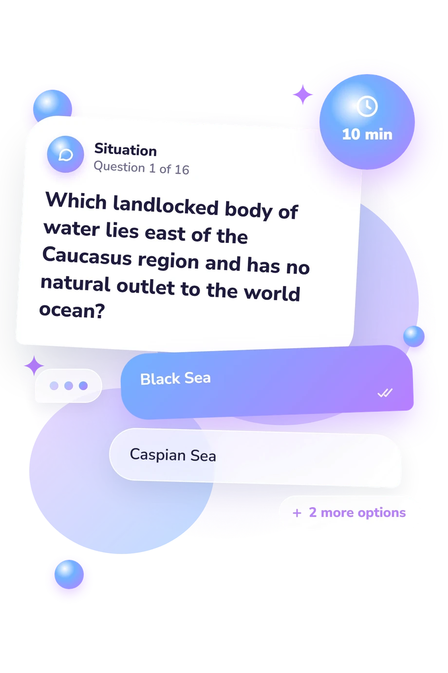
- Black Sea
- Caspian Sea
- Aral Sea
- Sea of Azov
- Strait of Gibraltar
- Strait of Dover
- Danish Straits
- Strait of Otranto
- Celtic Sea
- North Sea
- Irish Sea
- English Channel
Europe Bodies of Water Quiz - Description and methodology of the test
People learning or reviewing European geography can use this assessment to decide whether they want a quick check of waterway knowledge. The Europe Bodies of Water Quiz returns one overall knowledge level rather than a detailed profile. The four-choice format makes this European bodies of water quiz a focused test of named features, routes, and geographic relationships.
What This Assessment Explores
Spatial recognition is the focus: each item links a named water feature to location, nearby land, a route, or an outlet. This assessment, a bodies of water in Europe quiz, tests locations and connections among European waters through map-based recall.
The result is Europe Bodies of Water Knowledge, scored 0-16. Its bands are Building Foundations (0-6), Developing Knowledge (7-12), and Strong Knowledge (13-16), describing increasing command of Europe’s major waterways and their spatial connections.
The questions cover these practical dimensions:
- Seas and enclosed waters show whether regional water bodies are placed correctly.
- Straits and bays show whether coastal passages and gulfs are distinguished.
- Rivers and outlets show whether waterways are followed to their destination.
Methodology and Scientific Basis
Each item presents a geographic prompt with four answer choices. The prompts combine direct identification with route-based reasoning: a respondent may place a sea between countries, identify a strait on a ferry crossing, connect a river with its receiving water, or distinguish an inland basin from an ocean. The displayed score summarizes recognition across these items; no additional weighting rule is stated.
Conceptually, the questionnaire is consistent with Huynh and Sharpe’s 2013 geospatial-thinking assessment, which treats geographic expertise as reasoning with location and spatial relationships. It also aligns with the National Research Council’s account of spatial thinking as using representations, relationships, and reasoning to understand geographic patterns. The item themes overlap conceptually with that instrument, but it does not supply this quiz’s scoring, validation, or provenance.
The catalogue presents the bands as descriptive knowledge levels. The assessment functions as a Europe water geography quiz with a narrow scope, concentrating on named European waters, routes, and outlets rather than broader geographic skills. Performance may reflect education, language, recent study, and familiarity with European maps.
- Niem Tu Huynh and Bob Sharpe. 2013. An Assessment Instrument to Measure Geospatial Thinking Expertise. Journal of Geography 112(1): 3-17. 10.1080/00221341.2012.682227
- National Research Council. 2006. Learning to Think Spatially. Washington, DC: The National Academies Press. 10.17226/11019
Updated: