
Wetland Quiz
How the Scales are Structured
Who Usually Takes This Test?
See How You Compare
Below is a preview of how scores are typically distributed across each scale.
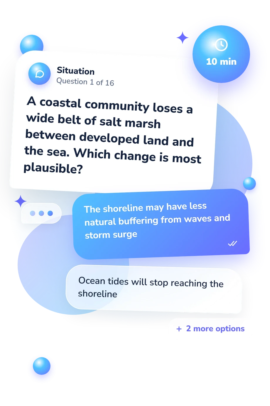
Example Questions From the Test
- Water depth, fish abundance, and public land ownership
- Annual rainfall, air temperature, and distance from a river
- Wetland hydrology, hydric soils, and hydrophytic vegetation
- Soil fertility, tree age, and elevation above sea level
- Native plant diversity and habitat structure may decline
- All nutrient cycling in the wetland will stop
- The plant will turn fresh water into salt water
- The wetland will necessarily dry out within one growing season
- Wind erosion during prolonged droughts
- Dissolution of deep limestone beds
- Repeated shifts in river channels
- Glacial movement and melting
Wetland Quiz - Description and methodology of the test
People who want a clear introduction to wetland science can use the wetland quiz to check how confidently they recognize ecological features and management principles. It suits learners, educators, conservation-minded readers, and anyone reviewing environmental concepts. The result offers a concise picture of current understanding, while the wetland science test format helps identify topics worth revisiting through study or practical observation.
What This Assessment Explores
At its core, the questionnaire asks whether a respondent can connect wetland form with the processes that sustain it. This wetland knowledge test covers classification, water patterns, hydric soils, vegetation, habitat, flood storage, water quality, invasive species, restoration, and conservation. The result is a learning profile: it shows how well the respondent handles core ideas and ecological relationships, not field performance or expertise. Its scale, Wetland Knowledge (0-16), places results in Foundational (0-6), Developing (7-12), or Strong (13-16).
The groups are:
- Wetland identity and classification explain how marshes, swamps, bogs, mangroves, and wetlands differ.
- Hydrology and soils show how saturation, inundation, oxygen limitation, and hydric indicators shape conditions.
- Ecological functions describe flood storage, slower runoff, sediment retention, nutrient cycling, and habitat.
- Management and change show how drainage, pavement, invasive plants, restoration, and beaver activity alter processes.
Methodology and Evidence Base
Each item presents a wetland scenario or definition with four answer choices, asking the respondent to select the option that best matches established ecological knowledge. Results form a single knowledge total, but the questionnaire does not state a separate weighting rule; readers should not infer how individual answers contribute beyond the published result.
As a wetland assessment, the tool is educational rather than diagnostic or normed. Mitsch and Gosselink (2015) provide the closest reference for wetland types, functions, hydrology, soils, and management concepts. The questionnaire is conceptually consistent with the National Research Council’s account of wetland characteristics and boundaries and with the Cowardin classification system. It is not presented as an adaptation or validation of those publications.
Interpretation works best when readers review concepts behind missed or uncertain answers. Prior coursework, regional familiarity, guessing, and scenario wording can affect performance, while a strong result does not demonstrate field identification or restoration competence. The outcome can guide further study, but broader learning and practical experience are needed to judge applied skill.
- Mitsch, William J., and James G. Gosselink. 2015. Wetlands. 5th ed. Hoboken, NJ: Wiley.
- National Research Council. 1995. Wetlands: Characteristics and Boundaries. Washington, DC: The National Academies Press. 10.17226/4766
- Cowardin, Lewis M., Virginia Carter, Francis C. Golet, and Edward T. LaRoe. 1979. Classification of Wetlands and Deepwater Habitats of the United States. FWS/OBS-79/31. Washington, DC: U.S. Fish and Wildlife Service.
Updated: