
Irish Counties Quiz
How the Scales are Structured
Who Usually Takes This Test?
See How You Compare
Below is a preview of how scores are typically distributed across each scale.
Example Questions From the Test
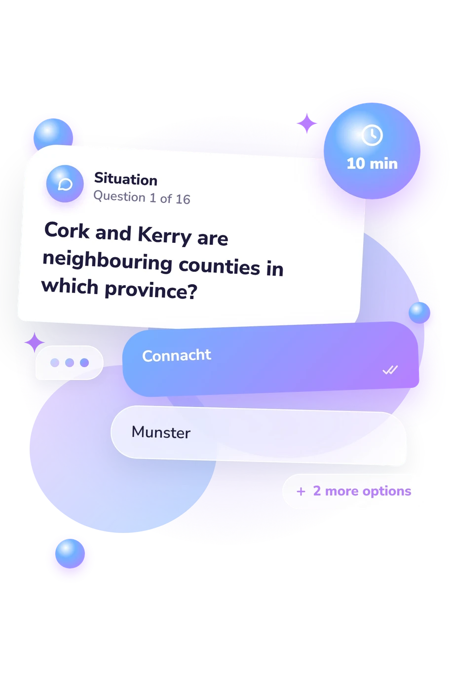
- Connacht
- Munster
- Ulster
- Leinster
- Leinster
- Munster
- Connacht
- Ulster
- Antrim
- Down
- Derry/Londonderry
- Donegal
Irish Counties Quiz - Description and methodology of the test
People who want to check their knowledge of Ireland’s geography can use the Irish Counties Quiz as a self-test. This counties of Ireland quiz suits learners, travellers, teachers planning a classroom activity, and anyone revising county and province relationships. The result indicates overall knowledge and accuracy, while question themes may point to topics that merit further study, especially when landmarks and regional groupings are easy to confuse.
What This Assessment Explores
The questionnaire measures knowledge of traditional counties, the four provinces, and notable county-linked places. Items combine direct identification with simple geographic reasoning: locating a landmark, following a route, or selecting counties that belong together. The result suits learners, travellers, and anyone reviewing Irish geography.
As an Ireland counties quiz, this questionnaire can reveal gaps that a single place-name question would miss.
The main themes are:
- Province recognition shows how accurately you place counties within Connacht, Leinster, Munster, and Ulster.
- Landmark matching shows whether you connect major sites with their correct counties.
- Route reasoning reflects how well you compare neighboring counties and provincial relationships.
- Traditional-county recall covers the island-wide framework, county totals, and Ulster’s cross-border geography.
The catalogue reports one scale, Irish Counties Knowledge (0-16): Foundation (0-6), Developing (7-12), and Strong (13-16). These bands describe increasing accuracy across counties, provinces, and locations.
Methodology and Evidence Base
Each item uses four-option multiple choice. The set mixes factual recall with comparisons: identifying a province, matching a landmark to a county, counting traditional counties, or tracing a journey across regions. The displayed total summarizes performance on the geography questions and is read through the catalogue’s descriptive bands.
Geographically, the quiz uses Ireland’s county and province structure. Aalen, Whelan, and Stout (2011) provide context for rural landscapes and county-linked locations, while Tourism Ireland supports labels for counties and provinces. These sources support the subject matter, but the quiz is not an adaptation or item-by-item validation of them.
In practical terms, it functions as an Irish counties test for reviewing county, province, landmark, and route knowledge. Familiarity with tourist sites, school geography, travel, or recent revision may affect scores, and recognizing a correct option may differ from locating a county unaided. The result reflects this particular question set rather than a complete account of geographic knowledge.
- J. P. Haughton and J. H. Andrews, eds. Atlas of Ireland. Dublin: Royal Irish Academy, 1979. ISBN 0-901714-13-5.
- J. P. Haughton. "The atlas of Ireland." Irish Geography 12, no. 1 (1979): 1-9. 10.55650/igj.1979.805.
- F. H. A. Aalen, Kevin Whelan, and Matthew Stout, eds. Atlas of the Irish Rural Landscape. 2nd ed. Cork: Cork University Press, 2011. ISBN 9781859184592.
- Tourism Ireland. "Ireland's counties and provinces.". Accessed September 22, 2026.
Updated: