
Continents and Oceans Quiz
How the Scales are Structured
Who Usually Takes This Test?
See How You Compare
Below is a preview of how scores are typically distributed across each scale.
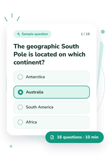
Example Questions From the Test
- Antarctica
- Australia
- South America
- Africa
- The Ural Mountains
- The Isthmus of Panama
- The Bering Strait
- The Strait of Gibraltar
- Asia
- Australia
- South America
- Africa
Continents and Oceans Quiz - Description and methodology of the test
For learners deciding whether to revisit classroom material or test their readiness for further study, the continents and oceans quiz offers a focused knowledge check rather than a personality profile. It suits students, travelers, teachers, and curious adults who want to decide what to study next. The resulting profile can guide world geography review toward foundational learning, boundary concepts, or applied reasoning.
What This Assessment Explores
The questions assess recognition of seven continents, five oceans, and their spatial relationships. Travel directions, coastlines, straits, mountain boundaries, hemispheres, and regional definitions turn the seven-continent, five-ocean focus into an application task as well as a recall exercise. You must connect each feature with its location, neighboring landmass, or surrounding water.
The result is summarized as Continents and Oceans Knowledge, scored from 0-16. These bands describe the level indicated by the total:
- Foundations to Build (0-6) indicates that core locations and relationships need review.
- Developing Knowledge (7-12) shows a functional grasp with gaps in boundaries or relative position.
- Strong Knowledge (13-16) reflects accurate, flexible knowledge of the seven continents, five oceans, and their spatial relationships.
The profile helps learners and teachers decide whether to revisit identification, boundaries, or application after taking this geography knowledge test.
Methodology and Evidence Base
Each item is a four-choice, single-best-answer question. The set combines direct identification with short geographic scenarios about location, direction, neighboring landmasses, and surrounding oceans. The four-choice format therefore tests applied spatial understanding as well as recall, making it useful for spatial reasoning practice.
Scoring produces one total, and the displayed bands translate it into an accessible interpretation of how well the respondent handled these questions. Results can guide learning and revision by showing whether further work should focus on core facts, spatial relationships, or boundary conventions.
The content is conceptually consistent with the National Geographic seven-continent/five-ocean model and Sieger's 2012 digitized boundary dataset based on IHO Special Publication S-23. It is not presented as an adaptation of either source. Allen and colleagues (1990) add educational context for geography learning, but their study does not validate this online questionnaire.
Taken together, the result is a structured snapshot of performance on these questions: attention, prior instruction, and the geographic conventions used by the questions can affect answers, so the score describes this learning moment rather than general geographic ability.
- National Geographic Society. National Geographic Map Policy. Updated June 2026.
- International Hydrographic Organization and Rainer Sieger. Limits of Oceans and Seas in Digitized, Machine-Readable Form. PANGAEA, 2012; based on Limits of Oceans and Seas, 3rd ed., Special Publication S-23, 1953. 10.1594/PANGAEA.777975.
- Allen, Russell; Bettis, Norman; Kaufman, Dana; MacDonald, Walter; Mullis, Ina V. S.; Salter, Christopher; Foertsch, Mary A.; Jenkins, Lynn B.; and Kenney, Marianne. The Geography Learning of High School Seniors. Educational Testing Service, 1990. ISBN 0-88685-097-5.
Updated: