
Spanish Speaking Countries Map Quiz
How the Scales are Structured
Who Usually Takes This Test?
See How You Compare
Below is a preview of how scores are typically distributed across each scale.
Example Questions From the Test
- Peru
- Argentina
- Venezuela
- Colombia
- Cuba
- Dominican Republic
- Panama
- Colombia
- Venezuela
- Dominican Republic
- Cuba
- Equatorial Guinea
Spanish Speaking Countries Map Quiz - Description and methodology of the test
For learners who want to strengthen geographic recall, the Spanish Speaking Countries Map Quiz turns country-location knowledge into a focused map-reading exercise. It suits students, travelers, and curious adults who want to see how confidently they connect names with borders, coastlines, islands, and neighboring states. As a Spanish speaking countries quiz, it offers a practical snapshot of current map knowledge rather than a broad measure of language ability.
What This Assessment Explores
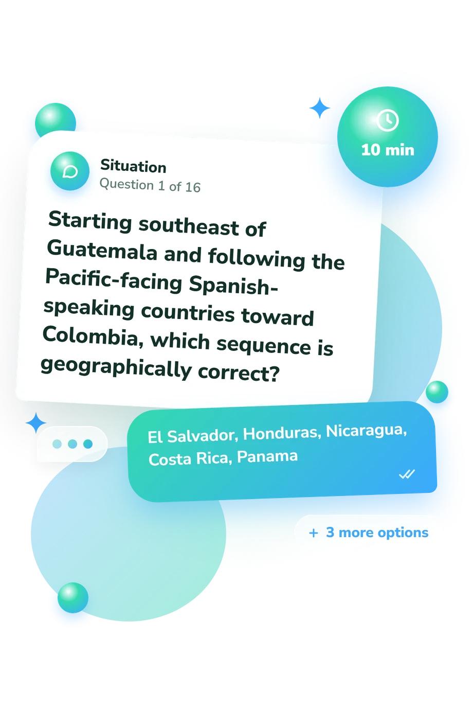
This assessment focuses on locating Spanish-speaking countries and recognizing geographic relationships. Items ask you to sequence countries along a coast, identify neighbors, distinguish island and mainland settings, and use clues about borders, oceans, and relative position. That makes the Spanish countries quiz useful for practicing political geography, not merely memorizing names.
The question themes include:
- Central American routes show whether you can follow country order and coastal position.
- South American borders test your use of neighbors, coastlines, and landlocked settings.
- Caribbean clues assess recognition of island locations and nearby mainland relationships.
- Spain and Equatorial Guinea extend the same reasoning to Europe and Africa.
The displayed scale, Spanish-Speaking Countries Knowledge (0-16), summarizes knowledge of the locations of Spanish-speaking countries. Results appear as Foundations (0-6), Developing (7-12), or Strong (13-16): the bands move from recognizing some countries, through placing many correctly, to confident understanding of relative locations.
Methodology and Evidence Base
Each prompt presents a geographic clue followed by four answer choices. The task is recognition and relational reasoning: identify a country from neighbors, coastlines, island position, or a north-south route. Rather than testing translation or culture, this 21 Spanish speaking countries quiz concentrates on location and spatial relationships.
The score condenses performance across the selected-response questions into one knowledge profile. Its bands are descriptive levels rather than universal norms, so the result does not represent every part of geographic ability.
Conceptually, the approach is consistent with Hagge (2023), which treats country-location identification as a geography learning task, and with the National Geography Standards framework, which emphasizes spatial thinking and geographic representations. These sources support the construct being assessed, but this questionnaire is not an adaptation of either work.
For interpretation, correct answers show successful use of the clue, while errors may reflect wording, guessing, or prior exposure. As a Spanish map quiz, it is best used to target map review, especially because results can vary with study history and test-taking conditions.
- Hagge, Patrick D. (2023). Find It on a Map: Country Location Identification in a University Geography Classroom, 2016-2022. Journal of Geography, 122(5), 105-114. 10.1080/00221341.2023.2224374
- Heffron, Susan Gallagher, and Roger M. Downs, eds. (2012). Geography for Life: National Geography Standards, Second Edition. Washington, DC: National Council for Geographic Education.
Updated: