
Sectional Chart Quiz
How the Scales are Structured
Who Usually Takes This Test?
See How You Compare
Below is a preview of how scores are typically distributed across each scale.
Example Questions From the Test
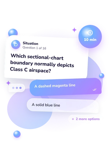
- A dashed magenta line
- A solid blue line
- A shaded blue border
- Solid magenta rings or segments
- The airport is private-use only
- The airport does not have an operating control tower
- The airport has no runway lighting
- The airport lies outside controlled airspace
- The airport elevation is 720 feet MSL
- The longest runway is approximately 7,200 feet long
- The runway is 72 feet wide
- The traffic-pattern altitude is 7,200 feet MSL
Sectional Chart Quiz - Description and methodology of the test
Pilots, flight students, and anyone preparing for visual flight planning can use this sectional chart quiz to check how confidently they interpret U.S. chart symbols and annotations. It is especially useful for focused review of airspace, airports, elevations, obstacles, and navigation references before those ideas enter a real planning task. A VFR sectional quiz can show which areas deserve closer study and practice.
What This Assessment Measures
This assessment checks practical chart-reading knowledge rather than broad pilot proficiency. The items connect visual conventions with meanings across airspace, special-use areas, airport data, elevations, obstacles, and navigation references. As a VFR sectional-chart quiz, it suits learners and pilots using U.S. VFR materials who want to find gaps in recognition or interpretation.
The result covers these tested dimensions:
- Airspace markings show how boundaries identify Classes B, C, D, and E.
- Airport data explains tower status, runway figures, traffic-pattern notes, and airport colors.
- Elevation information distinguishes mean sea level, height above ground, and maximum elevation.
- Special-use areas indicate where hazardous activity, restrictions, or authorization may affect routing.
- Navigation references clarify compass roses, magnetic variation, and the current chart legend.
Sectional Chart Knowledge ranges from 0-16: Foundations to Review is 0-6, Developing Knowledge is 7-12, and Strong Knowledge is 13-16. These bands describe tested knowledge, not complete flight-planning readiness.
Methodology and Evidence Base
Each item presents a chart-reading situation with four answer choices. The respondent selects the interpretation that best fits U.S. sectional conventions, so the format checks recognition and application rather than opinion. As a sectional chart knowledge test, it combines correct responses into an educational score; no broader norm is stated.
The FAA Chart Users' Guide and the FAA's basic flight-information manual provide the conventions tested here, including airspace, airport symbols, elevations, special-use areas, navigation references, and use of current legends. The questionnaire is conceptually consistent with those materials, not an FAA examination or credential.
Chandra, Yeh, and Donovan's human-factors study gives related context for recognizable electronic chart symbols, but this questionnaire is not an adaptation or validation of that work. Its scoring has no stated standardized norms or clinical interpretation.
Treat the result as a snapshot of tested knowledge. Performance can vary with training, familiarity with U.S. charting, attention, and wording. Because symbols and procedures can change, practical planning still requires a current chart and official guidance.
- Federal Aviation Administration. Aeronautical Chart Users' Guide. Aeronautical Information Services, effective July 9, 2026.
- Chandra, Divya C., Michelle Yeh, and Colleen Donovan. "Pilot Identification of Proposed Electronic Symbols for Displays of Aeronautical Charting Information." Proceedings of the Human Factors and Ergonomics Society Annual Meeting, vol. 51, no. 2, 2007, pp. 65-69. 10.1177/154193120705100203
- Federal Aviation Administration. Aeronautical Information Manual: Basic with Change 1, 2, and 3. Federal Aviation Administration, effective July 9, 2026.