
Former Soviet Union Map Quiz
How the Scales are Structured
Who Usually Takes This Test?
See How You Compare
Below is a preview of how scores are typically distributed across each scale.
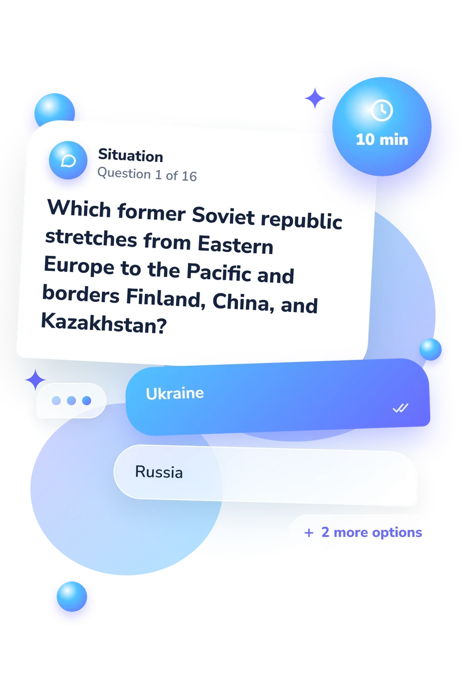
Example Questions From the Test
- Ukraine
- Russia
- Belarus
- Kazakhstan
- Uzbekistan
- Turkmenistan
- Kyrgyzstan
- Tajikistan
- Tajikistan
- Kyrgyzstan
- Uzbekistan
- Turkmenistan
Former Soviet Union Map Quiz - Description and methodology of the test
People who want a focused way to check their knowledge of the republics that emerged from the USSR can use the Former Soviet Union Map Quiz as a practical geography exercise. It is intended for learners, travelers, teachers, and anyone using this former USSR map quiz to review the region’s political map. This quiz about post-Soviet states turns capitals, borders, coastlines, and neighboring-state clues into a compact check of geographic recall.
What This Assessment Explores
The questions measure political geography rather than historical dates. The questionnaire covers Soviet-era geographic knowledge, using Soviet Union map quiz material to ask you to connect countries with capitals, neighbors, coastlines, lakes, mountain regions, and relative positions. The result summarizes correct responses to these geographic clues.
The item themes describe the material sampled; they are not separate regional scores:
- Baltic and Eastern European questions cover capitals, borders, and locations in Estonia, Latvia, Lithuania, Belarus, Moldova, and Ukraine.
- South Caucasus questions identify Armenia, Azerbaijan, and Georgia through terrain, coastlines, capitals, and neighbors.
- Central Asian questions connect Kazakhstan, Kyrgyzstan, Tajikistan, Turkmenistan, and Uzbekistan with borders, capitals, and regional positions.
Former Soviet Union Geography Knowledge (0-16) reports Building Foundations (0-6), Developing Map Knowledge (7-12), or Strong Map Knowledge (13-16), summarizing accuracy across these clues.
Methodology and Geographic Sources
Each item presents a geographic clue with four answer choices and asks you to identify a country from its capital, borders, coastline, lake, or regional position. Scoring is direct: the result counts correct responses, and the bands summarize the map knowledge shown by that total.
Together, these features make this post Soviet states map quiz a focused check of former-USSR map knowledge. It rewards spatial recall and comparison.
The atlases and handbook cited for this questionnaire are factual geographic sources. Brawer (1994) supplies regional reference material; Batalden and Batalden (1997) and Brunn, Toops, and Gilbreath (2012) add coverage of the independent republics and Central Eurasia. They support the country, capital, border, and subregional content, not psychometric claims.
This online questionnaire uses a raw correct-answer total and descriptive bands; it is not norm-referenced and has no reported reliability evidence. Scores depend on prior exposure, familiarity with English place names, and attention on the day, so the result is a snapshot of current geography recall.
- Brawer, Moshe. Atlas of Russia and the Independent Republics. New York: Simon & Schuster, 1994. ISBN 9780130519962.
- Batalden, Stephen K., and Sandra L. Batalden. The Newly Independent States of Eurasia: Handbook of Former Soviet Republics. 2nd ed. Phoenix, AZ: Oryx Press, 1997. ISBN 9780897749404.
- Brunn, Stanley D., Stanley W. Toops, and Richard Gilbreath. The Routledge Atlas of Central Eurasian Affairs. 1st ed. Abingdon: Routledge, 2012. DOI 10.4324/9780203118566.
Updated: