
Bodies of Water Quiz
How the Scales are Structured
Who Usually Takes This Test?
See How You Compare
Below is a preview of how scores are typically distributed across each scale.
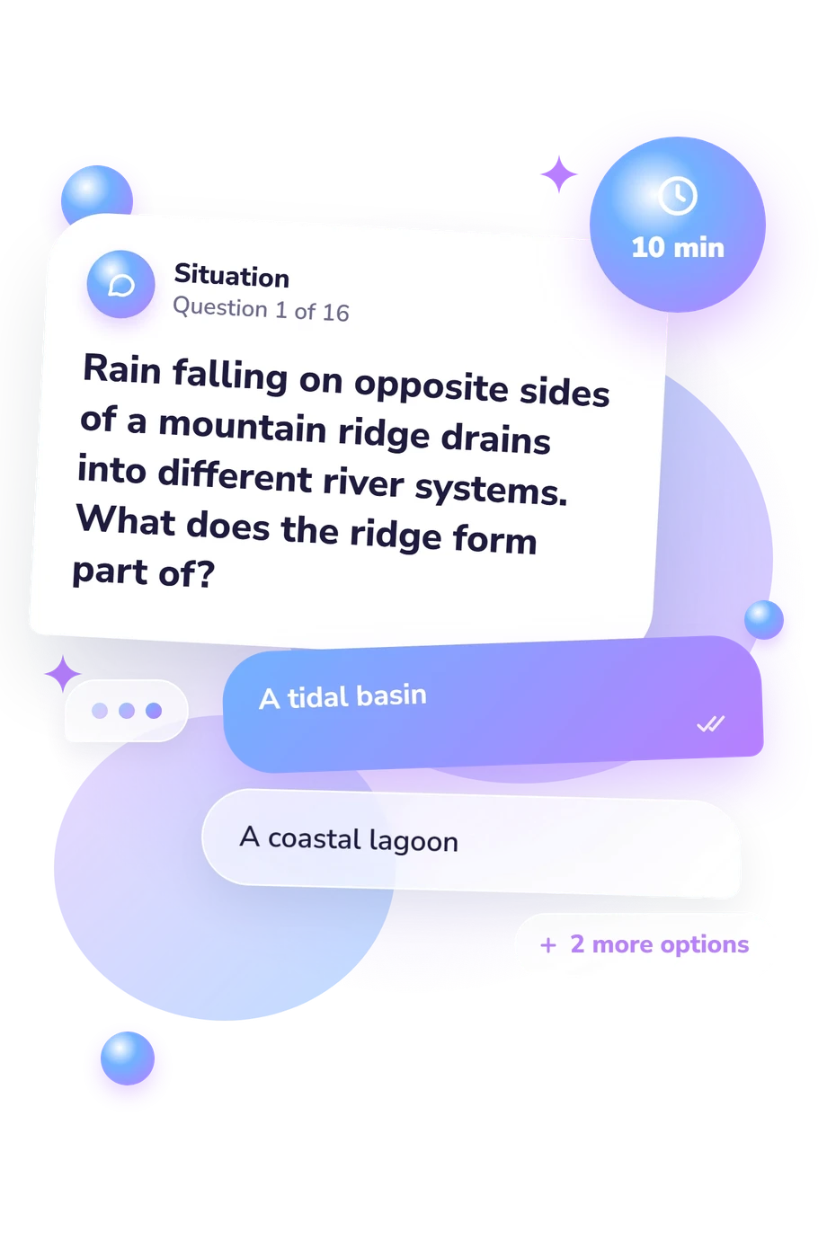
Example Questions From the Test
- A tidal basin
- A coastal lagoon
- A watershed divide
- A river mouth
- Aegean Sea
- Tyrrhenian Sea
- Baltic Sea
- Adriatic Sea
- A saline lake
- An ocean inlet
- A river delta
- An estuary
Bodies of Water Quiz - Description and methodology of the test
People who want to sort related geographic concepts can use this assessment to examine distinctions among landforms, waterways, and coastal settings. Taking the bodies of water quiz is useful when you want to see how clearly similar categories, named places, and natural links can be separated. As a quiz on water bodies, this assessment uses text-based choices to examine geographic relationships among named features. Its result indicates which geographic distinctions may merit closer attention.
What This Assessment Measures
This assessment checks practical geographic knowledge. It asks readers to classify features, identify waterways, and follow connections across landscapes. It suits anyone reviewing physical geography.
It covers these aspects of that broader knowledge:
- Classification shows whether lakes, lagoons, estuaries, canals, straits, tributaries, streams, bays, gulfs, and watershed divides are distinguished.
- Spatial and drainage knowledge shows whether seas, passages, runoff, tributaries, and watershed boundaries fit together.
- Coastal-feature classification shows whether enclosure, freshwater-saltwater mixing, and brackish conditions are recognized as geographic distinctions.
Taken as a bodies of water map quiz, this assessment connects terminology with named seas, passages, and locations rather than requiring detailed cartography. Bodies of Water Knowledge (0-16) reports Foundations to Build (0-6), Developing Knowledge (7-12), and Strong Knowledge (13-16). It reflects terminology, physical geography, and Mediterranean connections; the bands suggest where review may help.
Methodology and Evidence Base
Each item presents a geographic scenario or definition with four answer choices. Selecting the best match tests recognition and application, including the ability to distinguish similar terms and trace named connections.
This world bodies of water map quiz links the displayed knowledge scale to terminology, physical geography, and Mediterranean water connections. Because selected responses can be affected by guessing, the questionnaire gives a bounded view of geographic knowledge rather than measuring every form of geographic reasoning.
Content is conceptually consistent with Hess and Finch (2021) for physical-geography framing. Maritime names and boundaries align with the International Hydrographic Organization (1953). Drainage definitions follow Langbein and Iseri (1960), and estuary treatment reflects Pritchard (1967). These sources support terminology and concepts; this online questionnaire is not a validated adaptation of any one source.
Interpret results alongside prior study, regional familiarity, attention, and the limits of selected-response questions. Performance may change with learning and context, so use the score to target review of concepts, locations, and relationships.
- Hess, Darrel, Redina Finch, and Dennis G. Tasa. McKnight's Physical Geography: A Landscape Appreciation. 13th ed., Pearson, 2021. ISBN 9780135800256.
- International Hydrographic Organization. Limits of Oceans and Seas. Special Publication No. 23, 3rd ed., 1953.
- Langbein, Walter B., and Kathleen T. Iseri. General Introduction and Hydrologic Definitions. U.S. Geological Survey Water-Supply Paper 1541-A, 1960, pp. 1-29. 10.3133/wsp1541A
- Pritchard, Donald W. "What Is an Estuary: Physical Viewpoint." In Estuaries, edited by George H. Lauff, American Association for the Advancement of Science Publication No. 83, 1967, pp. 3-5.
Updated: