
US Geography Quiz Questions
How the Scales are Structured
Who Usually Takes This Test?
See How You Compare
Below is a preview of how scores are typically distributed across each scale.
Example Questions From the Test
- Sierra Nevada
- Cascade Range
- Rocky Mountains
- Appalachian Mountains
- New Mexico
- Texas
- Nevada
- Oklahoma
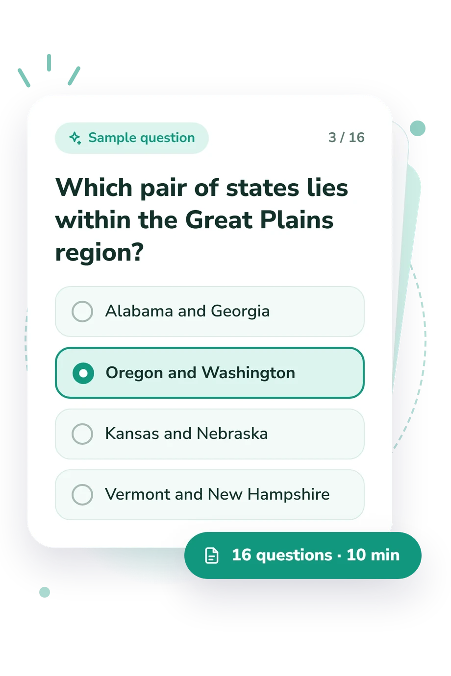
- Alabama and Georgia
- Oregon and Washington
- Kansas and Nebraska
- Vermont and New Hampshire
US Geography Quiz Questions - Description and methodology of the test
For learners, travelers, and anyone wanting a clearer picture of the United States, US Geography Quiz Questions offers a focused way to examine geographic knowledge rather than memorized trivia alone. The US geography quiz with answers uses a multiple-choice format, pairing each geographic situation with four choices that test recognition and geographic reasoning.
What This Assessment Explores
This assessment checks map knowledge: locating states and regions, connecting landforms and waterways with surrounding areas, and applying direction or drainage relationships. It suits readers studying, revising, or checking how confidently they can reason about the United States.
The question groups cover:
- Regions: placing the Great Plains, Appalachians, Ozarks, and Great Basin.
- Physical features: recognizing mountain ranges, rivers, lakes, estuaries, and drainage.
- Spatial relationships: applying compass direction and watershed logic.
- States and borders: linking neighbors, coastlines, and the Four Corners.
Together, these themes make the American geography quiz a test of connected understanding rather than isolated facts. The result appears on the US Geography Knowledge scale, scored 0-16, with Building Foundations (0-6), Developing Navigator (7-12), and Strong US Geographer (13-16). The bands summarize performance shown by your answers, not a permanent ability or identity.
Methodology and Evidence Base
Each item presents a location or geographic situation with four answer choices. Selecting the best option requires both recall and spatial reasoning about states, regions, landforms, waterways, direction, and drainage. The questionnaire reports one overall geographic knowledge result; no point-allocation rule, norming, or validation status is provided.
Geography for Life (de Souza and Downs, 1994) supplies the closest conceptual anchor: geographic understanding includes knowledge of places and physical systems, recognition of spatial relationships, and use of geographic perspectives. The 2018 National Assessment Governing Board framework similarly emphasizes geographic content and reasoning. The National Research Council’s 2006 spatial-learning work supports attention to location, distance, direction, and relationships among places. This US geography test is conceptually consistent with these works, not an adaptation or validation of them.
Interpret the result as a snapshot of performance on these items. Prior learning, regional familiarity, wording, and guessing can affect a multiple-choice result, so it may not represent every aspect of geographic ability. Reviewing uncertain answers can show which regions or spatial relationships deserve further study.
- de Souza, Anthony R., and Roger M. Downs. Geography for Life: National Geography Standards 1994. Executive Summary. Washington, DC: National Geographic Society, 1994. ISBN 0-7922-2777-8.
- National Assessment Governing Board. Geography Assessment Framework for the 2018 National Assessment of Educational Progress. Washington, DC: U.S. Department of Education, 2018.
- National Research Council. Learning to Think Spatially: GIS as a Support System in the K-12 Curriculum. Washington, DC: The National Academies Press, 2006. 10.17226/11019.
Updated: