
Central Africa Map Quiz
How the Scales are Structured
Who Usually Takes This Test?
See How You Compare
Below is a preview of how scores are typically distributed across each scale.
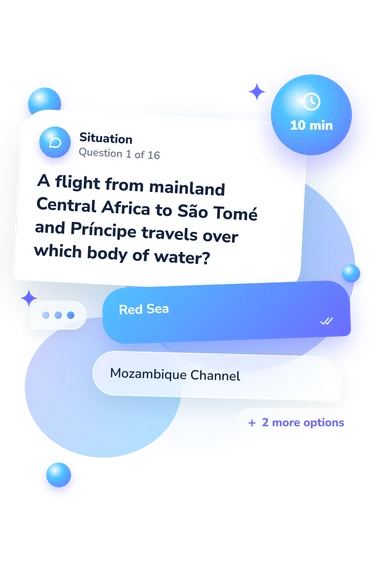
Example Questions From the Test
- Red Sea
- Mozambique Channel
- Gulf of Guinea
- Gulf of Aden
- Gabon
- São Tomé and Príncipe
- Cameroon
- Equatorial Guinea
- Gabon
- Cameroon
- Republic of the Congo
- Equatorial Guinea
Central Africa Map Quiz - Description and methodology of the test
For people who want to check or improve their knowledge of Central African geography, this assessment provides focused practice with country, border, capital, island, and physical-geography clues. This Central Africa Map Quiz gives them a clear picture of what they know and what deserves review. This Central Africa quiz offers a practical starting point for revision.
What This Assessment Explores
Questions ask you to connect capitals with countries, distinguish neighboring states, follow borders and rivers, recognize island territories, and interpret coastal or landlocked positions. Travel directions and geographic relationships also reward attention to spatial and location clues rather than isolated memorization.
These are question themes contributing to the single total score:
- Country recognition shows whether names match their correct positions.
- Capital knowledge indicates whether you connect cities with countries accurately.
- Border reasoning measures how well neighboring states guide identification.
- Island and coastal geography distinguishes Gulf of Guinea territories from mainland states.
- Physical-geography clues show whether rivers, lakes, and seas support your reasoning.
In practice, this Central Africa map test stays approachable while revealing specific knowledge gaps. Central Africa Map Knowledge (0-16) reports overall accuracy: Foundation is 0-6, Developing is 7-12, and Strong is 13-16.
Methodology and Evidence Base
Each item presents a geographic prompt with four answer choices. The respondent selects the option that best fits the country, capital, border, island, water body, or regional definition described. Every correct answer contributes one point to the total, so the displayed result is an accuracy score grouped into descriptive learning bands.
The regional definition follows the UN M49 classification of Middle Africa, which sets the country grouping used by this quiz and explains why its coverage may differ from everyday usage.
Scoring is not standardized or norm-referenced; the raw-score bands are descriptive, and performance can be affected by prior schooling, travel, language familiarity, attention, and current interests. For a visitor, a result from this Central Africa geography test can guide review of atlases and regional maps.
- Atsimadja, Felicité Awassi. 1992. The Changing Geography of Central Africa. In The Changing Geography of Africa and the Middle East, edited by Graham P. Chapman and Kathleen M. Baker, 52-79. Routledge, London.
- United Nations Statistics Division. 1999. Standard Country or Area Codes for Statistical Use. Statistical Papers, Series M, No. 49, Rev. 4. New York: United Nations. ISBN 92-1-061175-6.
- Lemon, Anthony. 1993. The Changing Geography of Africa and the Middle East. African Affairs 92(367): 311-312. 10.1093/oxfordjournals.afraf.a098626.