
Country Outline Quiz
How the Scales are Structured
Who Usually Takes This Test?
See How You Compare
Below is a preview of how scores are typically distributed across each scale.
Example Questions From the Test
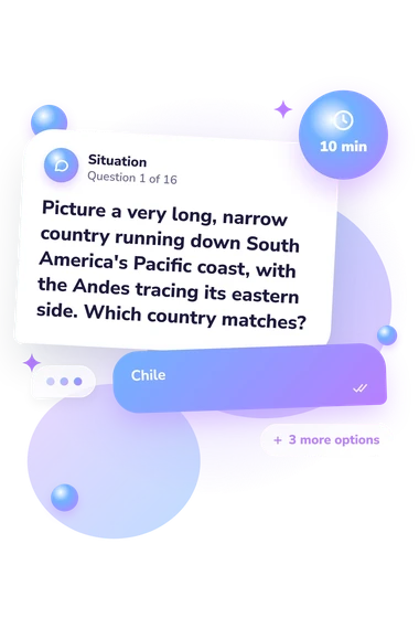
- Chile
- Peru
- Ecuador
- Argentina
- Argentina
- Paraguay
- Uruguay
- Bolivia
- Vietnam
- Laos
- Cambodia
- Thailand
Country Outline Quiz - Description and methodology of the test
For learners, travelers, and geography enthusiasts, this country outline quiz offers a focused way to practise identifying countries from described outlines and to notice which geographic clues support recognition. The result can turn country outline practice into a more targeted activity by showing which regions or clues deserve attention. It examines outline knowledge rather than labels, flags, or capital-city facts.
What This Assessment Explores
This assessment examines how readily you recognize countries from described outlines and geographic clues, not labels, flags, or capital-city facts. It suits learners, travelers, and map enthusiasts who want to practise identifying country shapes from verbal descriptions. Questions about country outlines emphasize shape, coastlines, peninsulas, islands, and neighboring seas.
Each item connects a described outline with one answer choice, and the result summarizes how successfully you use those clues. The main themes are:
- Continental profiles show whether broad mainland shapes and regional placement help distinguish countries.
- Peninsulas and isthmuses show how projecting landforms and narrow connections function as clues.
- Island and multi-part outlines show whether separated territories or elongated island shapes remain recognizable.
- Country Outline Knowledge (0-16) counts correct answers: Outline Explorer (0-6), Developing Recognizer (7-12), or Silhouette Specialist (13-16).
Methodology and Scientific Basis
Each question gives a verbal outline description and four answer choices. Clues involve coastlines, peninsulas, isthmuses, island groups, and neighboring seas. The response process is verbal outline recognition: you interpret geographic language rather than inspect or draw a map.
The scoring method is direct: one point is awarded for each correct answer, producing the knowledge score described above. This country outline assessment offers broad but limited international coverage; its 16 items sample country shapes rather than provide an exhaustive inventory of world geography.
Dunn's location-knowledge assessment connects place recognition with spatial thinking. Lee and Bednarz's Spatial Thinking Ability Test includes recognizing and interpreting spatial information. This questionnaire is conceptually consistent with those works, but it is not an adaptation of either instrument, and their studies do not establish norms for this online test.
Interpret the result as performance on the described clues: a strong score indicates effective use of verbal descriptions and geographic relationships. Map familiarity, regional experience, attention, and guessing can influence responses, so use the score to identify topics for review. It describes outline performance, not geographic ability overall.
- Dunn, James M. (2011). Location Knowledge: Assessment, Spatial Thinking, and New National Geography Standards. Journal of Geography, 110(2), 81-89. 10.1080/00221341.2010.511243
- Lee, Jongwon, and Robert S. Bednarz (2012). Components of Spatial Thinking: Evidence from a Spatial Thinking Ability Test. Journal of Geography, 111(1), 15-26. 10.1080/00221341.2011.583262