
Rivers of the World Quiz
How the Scales are Structured
Who Usually Takes This Test?
See How You Compare
Below is a preview of how scores are typically distributed across each scale.
Example Questions From the Test
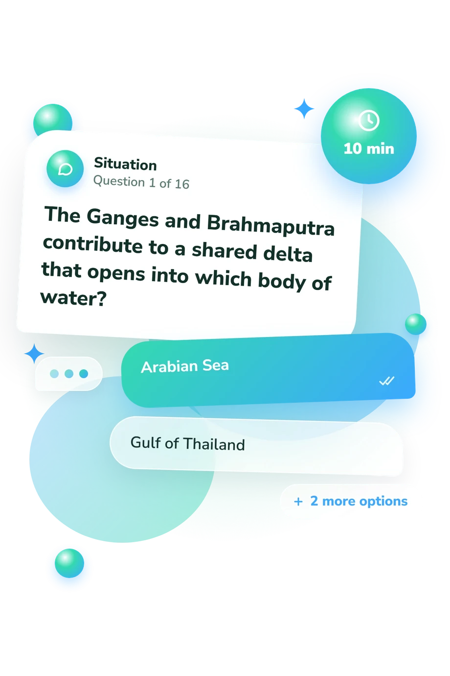
- Arabian Sea
- Gulf of Thailand
- Bay of Bengal
- Persian Gulf
- Red Sea
- Mediterranean Sea
- Arabian Sea
- Black Sea
- East China Sea
- Sea of Japan
- South China Sea
- Yellow Sea
Rivers of the World Quiz - Description and methodology of the test
Designed for learners and travelers who want to check geographic knowledge, the Rivers of the World Quiz turns waterways into a focused exercise in locating basins, mouths, deltas, and landmarks. Its cross-regional format makes it a world rivers quiz rather than a review centered on one familiar continent. Your result indicates your overall performance on the question set.
What This Assessment Measures
River knowledge is examined through links between waterways and places. Prompts ask you to identify outlets, deltas, basins, tributaries, estuaries, landmarks, countries, and cities. Questions span continents, making this a major rivers quiz, not a single-region exercise.
One score summarizes knowledge here, rather than separate results. Its item themes are:
- Rivers of the World Knowledge runs from 0-16: Foundations (0-6) reflects recognition of some major rivers; Developing Knowledge (7-12) reflects many important rivers and downstream clues, with regional gaps; Strong Knowledge (13-16) reflects consistent command of the relationships covered here. This score reflects this question set, not all world-river expertise.
- Mouth, outlet, basin, and route items test whether you connect rivers with receiving waters and follow drainage systems, tributaries, landmarks, and downstream movement.
- Regional and landmark items test whether you connect river systems with countries, cities, continents, and notable sites.
Methodology and Evidence Base
Four-choice prompts describe geographic situations, requiring downstream direction, river mouths, basin-country links, or landmark clues. A world rivers map quiz tests these factual and spatial connections.
Conceptually, the questionnaire is consistent with the Spatial Thinking Ability Test (STAT), especially its use of spatial relationships and geographic information. It is not an adaptation of STAT. Frameworks from the National Assessment Governing Board and National Research Council likewise emphasize location, spatial patterns, physical systems, and relationships among places. The cited instruments and frameworks provide conceptual comparison points for these question themes; they did not supply or determine this online questionnaire's item design, and they do not establish published norms or psychometric properties for it.
The score summarizes performance on selected items, so the bands belong to that limited context. This is a site-specific assessment, not a standardized geography examination. Schooling, regional familiarity, language, and concentration can affect performance; a missed answer may reflect an unfamiliar place rather than weak spatial reasoning. Interpret the result as a snapshot of performance on these questions, not a complete measure of geographic ability.
- Jongwon Lee and Robert Bednarz. 2012. Components of Spatial Thinking: Evidence from a Spatial Thinking Ability Test. The Journal of Geography, 111(1), 15-26. 10.1080/00221341.2011.583262
- National Assessment Governing Board. 2018. Geography Framework for the 2018 National Assessment of Educational Progress. Washington, DC: National Assessment Governing Board.
- National Research Council. 2006. Learning to Think Spatially. Washington, DC: The National Academies Press. 10.17226/11019
Updated: