
European Rivers Quiz
How the Scales are Structured
Who Usually Takes This Test?
See How You Compare
Below is a preview of how scores are typically distributed across each scale.
Example Questions From the Test
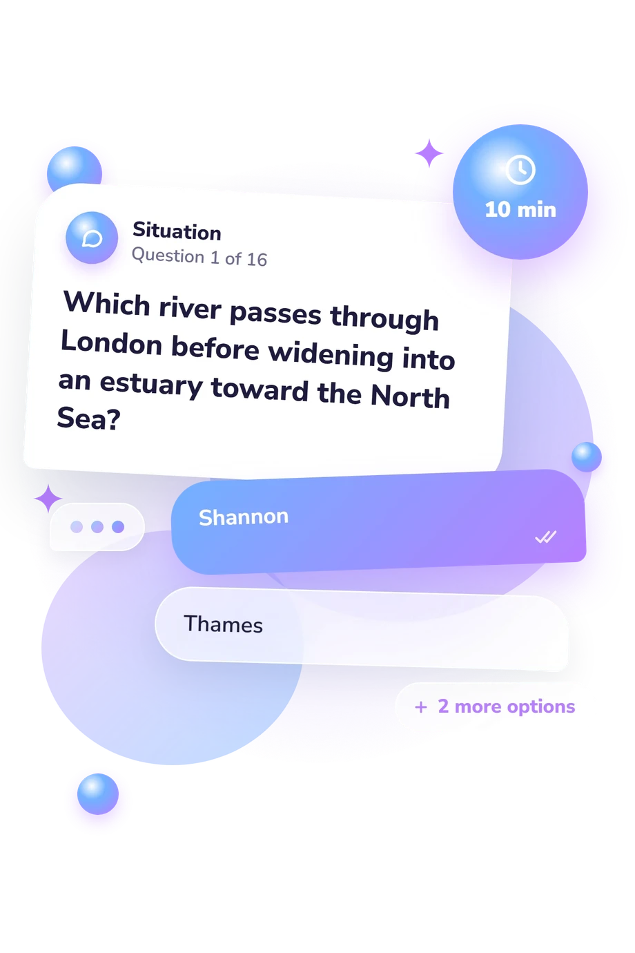
- Shannon
- Thames
- Trent
- Severn
- Seine
- Loire
- Rhône
- Garonne
- Ebro
- Douro
- Guadalquivir
- Tagus
European Rivers Quiz - Description and methodology of the test
Designed for learners, travelers, and geography enthusiasts, the european rivers quiz checks whether you can connect familiar waterways with the places and seas that define their courses. It suits anyone who wants a focused review of European physical geography rather than a personality profile. An europe rivers quiz result gives a clear snapshot of recall and geographic reasoning across major continental routes.
What This Quiz Measures
Questions measure river geography through city clues, downstream routes, drainage seas, and cross-border courses. A rivers of europe quiz result reflects connected knowledge rather than isolated names.
Examples span London, Paris, Iberian ports, Danube capitals, and the Po. It suits learners and anyone strengthening regional recall.
These are the main knowledge areas represented:
- City and sea links show whether you connect rivers with places, drainage, and endpoints.
- Cross-border routes show whether you recognize waterways linking countries and capitals.
- Landscape clues show whether you relate rivers to estuaries, deltas, valleys, and destinations.
The catalogue reports European Rivers Knowledge (0-16): Foundations to Build (0-6) means review is useful; Developing Knowledge (7-12) shows a useful grasp with connections to strengthen; Strong Knowledge (13-16) shows accurate river, city, landscape, border, and destination links.
Methodology and Evidence Base
The response format is multiple choice: each prompt offers four alternatives, asking you to select the river or sea that fits a geographic clue. This combines recognition with route reasoning. Its route-based design gives the rivers in europe quiz a mental-mapping element built from cities, directions, borders, and endpoints.
No psychological model is required; this is a factual geography assessment. Evidence for its geographic framing comes first from Tockner et al. (2022), with Sabater et al. (2022) supporting Iberian examples and Soulsby et al. (2022) supporting British and Irish material. The questionnaire is conceptually consistent with these sources, not an adaptation or validation of their chapters.
Its rivers of europe map quiz element comes from following waterways without a drawn map. Scoring summarizes factual performance through the displayed scale and bands; no standardized norms or reliability estimates are established for this questionnaire. Results reflect current knowledge and can vary with education, travel, recent study, place-name familiarity, attention, and guessing.
- Tockner, K., Tonolla, D., Bremerich, V., Jähnig, S. C., Robinson, C. T., & Zarfl, C. (2022). Introduction to European rivers. In K. Tockner, C. Zarfl, & C. T. Robinson (Eds.), Rivers of Europe (2nd ed., pp. 1-26). Elsevier. 10.1016/B978-0-08-102612-0.00001-8
- Sabater, S., Elosegi, A., Feio, M. J., Gómez, R., Graça, M. A. S., Muñoz, I., Pardo, I., & Romaní, A. M. (2022). The Iberian rivers. In K. Tockner, C. Zarfl, & C. T. Robinson (Eds.), Rivers of Europe (2nd ed., pp. 181-224). Elsevier. 10.1016/B978-0-08-102612-0.00004-3
- Soulsby, C., Tetzlaff, D., Gibbins, C. N., & Malcolm, I. A. (2022). British and Irish rivers. In K. Tockner, C. Zarfl, & C. T. Robinson (Eds.), Rivers of Europe (2nd ed., pp. 547-591). Elsevier. 10.1016/B978-0-08-102612-0.00010-9
- Tockner, K., Zarfl, C., & Robinson, C. T. (Eds.). (2022). Rivers of Europe (2nd ed.). Elsevier. 10.1016/C2017-0-03745-X
Updated: