
13 Colonies Map Quiz
How the Scales are Structured
Who Usually Takes This Test?
See How You Compare
Below is a preview of how scores are typically distributed across each scale.
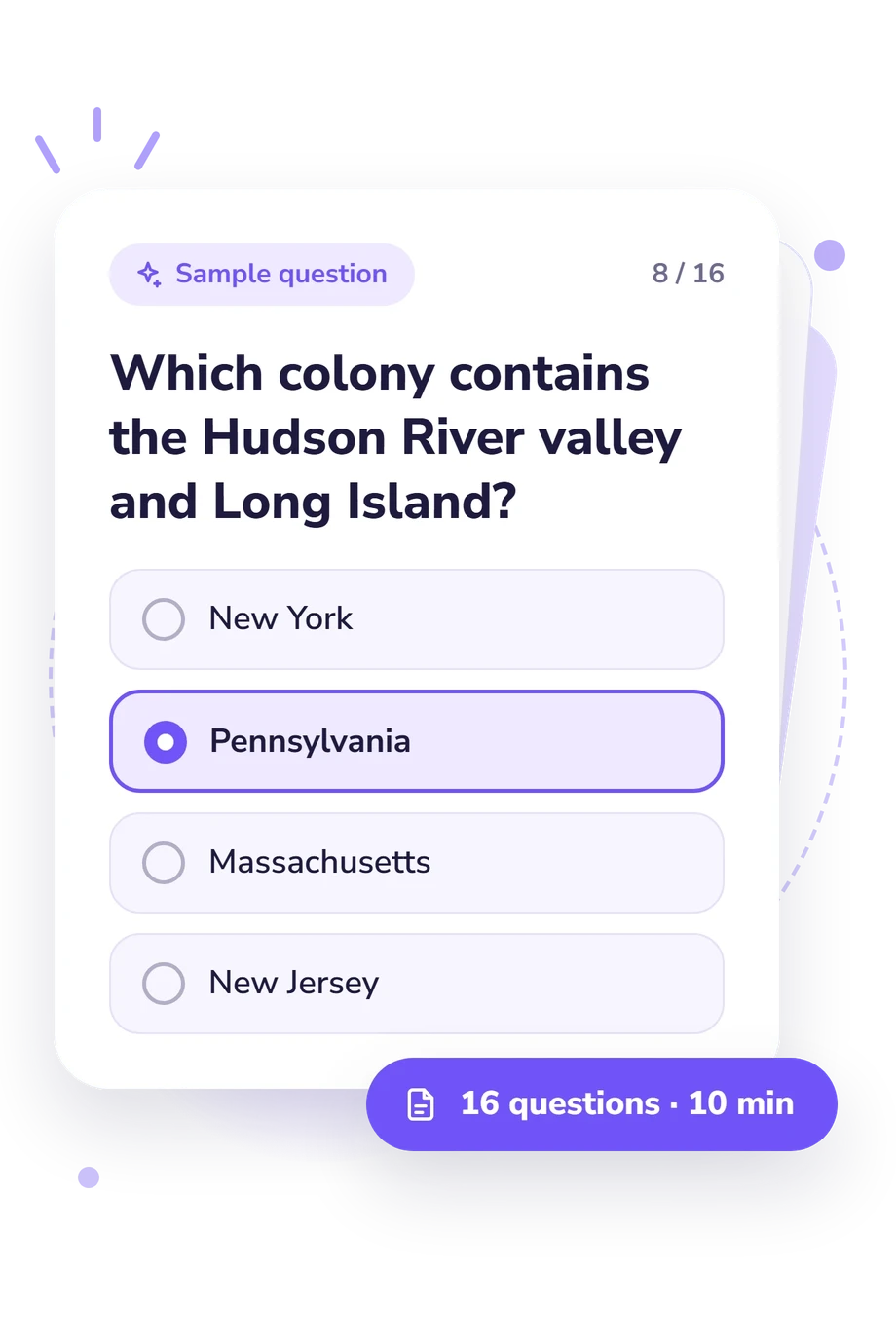
Example Questions From the Test
- Rhode Island
- New Hampshire
- Delaware
- New Jersey
- New Jersey
- Maryland
- Massachusetts
- Connecticut
- New Jersey
- Delaware
- Rhode Island
- Virginia
13 Colonies Map Quiz - Description and methodology of the test
For students, history learners, and curious adults revisiting early American geography, the 13 colonies map quiz offers a focused way to test location-based knowledge. This 13 colonies quiz can help learners decide whether a short review of colonial geography would be useful. Its single overall result gives a broad indication of performance on the questionnaire, rather than a detailed profile of individual map skills.
What This Assessment Explores
The questionnaire asks learners to place the original colonies within the Atlantic seaboard. Its questions focus on neighboring territories, north-to-south order, coastlines, bays, rivers, peninsulas, and regional groupings, making it a focused colonial map quiz. These are item themes, not separate subscores; one scale summarizes performance.
The item themes and single scale can be summarized as follows:
- Relative-location items connect colonies with nearby colonies, coastlines, and waterways.
- Regional-organization items distinguish the New England, Middle, and Southern Colonies.
- 13 Colonies Knowledge summarizes performance on this text-based quiz about colonial geography, with a 0-16 range: Foundations to Build (0-6) calls for reviewing colonies by region and major geographic landmarks; Developing Map Knowledge (7-12) reflects recognition of many locations with possible confusion among close neighbors or regional boundaries; Strong Geography Knowledge (13-16) reflects accurate connections among most colonies, positions, waterways, and regions.
Methodology and Scientific Basis
The items use multiple-choice recognition. Each question presents a map clue or classification task with four answer choices, asking the respondent to select the colony or group that fits the location. This knowledge check depends on recall and interpretation of geographic language rather than self-report.
The displayed result summarizes performance on the scale and places it within its interpretation bands; the displayed total does not show how each selection contributes. This colonial geography quiz supports practice, while the score remains a broad indicator rather than a full history assessment.
McConnell's 1919 map supplies a cartographic reference for the colonial layout. Mitchell, Kitchin, and Millar's 1755 map and Paullin's 1932 atlas add historical-geographic context, while Goettlich's 2022 study addresses boundaries, surveys, and territorial divisions. The question themes are consistent with these works, but they do not validate or standardize this online questionnaire.
Because this is a knowledge check, performance may vary with prior study, map familiarity, current attention, and interpretation of verbal clues. The result is best read as a snapshot of colonial geography recognition, not a comprehensive history profile.
- McConnell, James. "The Thirteen Original Colonies in 1774." In McConnell's Historical Maps of the United States. Chicago: McConnell Map Co., 1919. Map.
- Mitchell, John, Thomas Kitchin, and Andrew Millar. A Map of the British and French Dominions in North America, with the Roads, Distances, Limits, and Extent of the Settlements, Humbly Inscribed to the Right Honourable the Earl of Halifax, and the Other Right Honourable the Lords Commissioners for Trade & Plantations. London: Sold by Andrew Millar, 1755. Map.
- Paullin, Charles O. Atlas of the Historical Geography of the United States. Edited by John Kirtland Wright. Washington, D.C., and New York: Carnegie Institution of Washington and the American Geographical Society of New York, 1932. Publication no. 401.
- Goettlich, Kerry. "The Colonial Origins of Modern Territoriality: Property Surveying in the Thirteen Colonies." American Political Science Review 116, no. 3 (2022): 911-926. 10.1017/S0003055421001295
Updated: