
Medieval Europe Map Quiz
How the Scales are Structured
Who Usually Takes This Test?
See How You Compare
Below is a preview of how scores are typically distributed across each scale.
Example Questions From the Test
- Genoa
- Venice
- Bruges
- Novgorod
- Kingdom of France
- Kingdom of Hungary
- Kingdom of Denmark
- Kingdom of Jerusalem
- Kingdom of Norway
- Kingdom of England
- Kingdom of Portugal
- Kingdom of Bohemia
Medieval Europe Map Quiz - Description and methodology of the test
For students, travelers, and curious readers, the Medieval Europe Map Quiz offers a focused way to examine how accurately they connect historical names with locations. It suits anyone who wants to check geographic understanding through relationships rather than memorize an uninterrupted timeline. Questions about borders, waterways, cities, and kingdoms show why this medieval map quiz makes relational geography useful for placing political change in a coherent historical landscape.
What This Assessment Explores
The questionnaire focuses on spatial knowledge of medieval Europe: connecting political names with coastlines, neighboring realms, river corridors, seas, and major cities. It is a medieval geography quiz for readers interested in history or map skills, emphasizing relationships among places rather than dates alone.
The result appears as Medieval Europe Knowledge (0-16), defined as the number of correct answers. Its bands are 0-6, “Foundations to build,” 7-12, “Developing map knowledge,” and 13-16, “Strong medieval geography.” They show how accurately the respondent connects textual clues with relevant locations.
The questions cover these practical areas:
- Political borders show how well kingdoms are placed beside neighboring powers.
- Cities and urban centres show recognition of important towns and surrounding regions.
- Seas and routes test the use of physical geography for orientation.
- Larger territories capture knowledge of realms whose boundaries changed over time.
Methodology and Historical Context
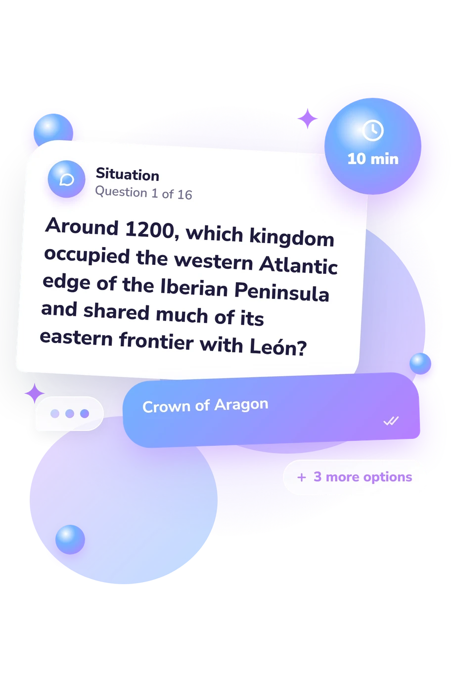
Each item presents a short historical or geographic clue with four answer choices. The respondent selects the kingdom, city, sea, or territory that best fits the description, combining recognition, relational reasoning, and recall. A map of medieval Europe may be mentally reconstructed from directional cues, neighboring regions, and coastal or waterway references.
Scoring is direct: the result is the number of correct responses, without a separate symptom scale or clinical index. The outcome is easy to read, but performance can also reflect familiarity with historical names, chance selection, and interpretation of a text-only clue.
Historical reference works by MacKay and Ditchburn (1997), McEvedy (1992), and Berend, Urbańczyk, and Wiszewski (2013) provide context for locations, borders, and references involving Bohemia, Hungary, and Poland. They support historical content, not reliability, norms, or validity; the questionnaire simply counts correct answers to selected clues.
Results are best read as a focused snapshot of map knowledge. Borders and political titles varied by period, so performance on these selected clues cannot represent every region or aspect of medieval understanding.
- MacKay, Angus, and David Ditchburn, eds. Atlas of Medieval Europe. London: Routledge, 1997.
- McEvedy, Colin. The New Penguin Atlas of Medieval History. Maps by David Woodroffe. London: Penguin Books, 1992.
- Berend, Nora, Przemysław Urbańczyk, and Przemysław Wiszewski. Central Europe in the High Middle Ages: Bohemia, Hungary and Poland, c. 900-c. 1300. Cambridge: Cambridge University Press, 2013. 10.1017/CBO9780511813795.
Updated: