
Asia Map Quiz
How the Scales are Structured
Who Usually Takes This Test?
See How You Compare
Below is a preview of how scores are typically distributed across each scale.
Example Questions From the Test
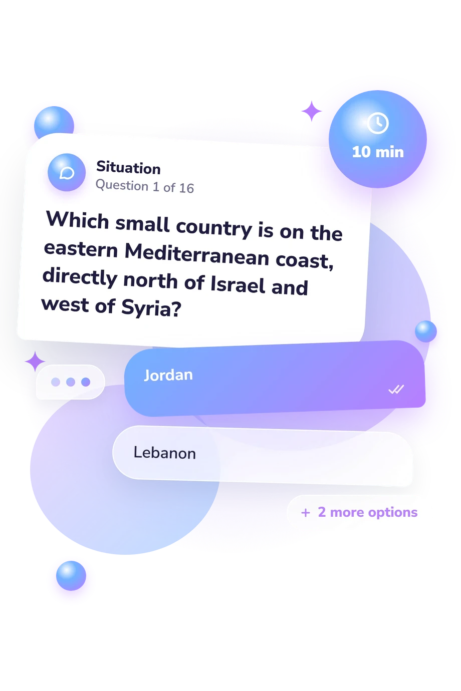
- Jordan
- Lebanon
- Iraq
- Kuwait
- Nepal
- Bhutan
- Mongolia
- Bangladesh
- Saudi Arabia
- Yemen
- Iran
- Oman
Asia Map Quiz - Description and methodology of the test
People who want to strengthen their geographic reasoning can use this assessment to check how well they connect written clues with real locations. The Asia Map Quiz is intended for curious learners, students, and anyone revisiting the geography of the continent. It can also function as an asia quiz that highlights confident associations and places where more map practice may help.
What This Assessment Explores
Location knowledge here is tested through geographic relationships rather than simple memorization. Respondents identify countries from clues about neighbors, seas, straits, peninsulas, islands, coastlines, and regional position. This makes the assessment useful as an asia countries quiz for learners who want to reason from a textual map description.
One overall scale, Asia Map Knowledge, covers 0-16 and is interpreted through these bands:
- Foundations to build (0-6) shows recognition of some locations with further practice needed.
- Developing map sense (7-12) shows many correct placements alongside gaps in less familiar regions.
- Strong map knowledge (13-16) shows consistent inference from borders, seas, islands, and regional relationships.
The result summarizes how reliably the respondent connects geographic clues with country placement. For self-checking or revision, this asian countries quiz can also indicate which map features deserve closer study.
Methodology and Evidence Base
Each item presents a short geographic description with four country choices. The respondent compares borders, relative position, shared islands, or nearby bodies of water before selecting one answer. This structure makes a countries of asia quiz depend more on relational map knowledge than on isolated facts.
Performance across the location items is combined into one map-knowledge result, rather than separate personality-style traits. The three displayed bands describe current geographic familiarity, not a profile of every region.
The evidence base is conceptually consistent with geographic-literacy research. Binimelis Sebastian et al. (2024) offer the closest comparison through structured location content. Hagge (2023) examines country-location identification in geography teaching, while Torrens (2001) and Turner and Leydon (2012) address place-location knowledge and online quiz practice. This questionnaire is not an adaptation of those studies, and their findings do not establish norms for this version.
Performance may reflect schooling, travel, language, recent study, and familiarity with map conventions. Because no norm-referenced standardization is stated, use the result to guide review and self-reflection within the displayed bands.
- Jaume Binimelis Sebastian, Juan Jorge Muntaner Guasp, Antoni Pons Esteva, and Alejandro Gómez Gonçalves. (2024). Design and validation of a questionnaire to assess the geographic literacy of third-year compulsory secondary education students in the Balearic Islands. Aula Abierta, 53(3), 239-246. 10.17811/rifie.20938
- Patrick D. Hagge. (2023). Find It on a Map: Country Location Identification in a University Geography Classroom, 2016-2022. Journal of Geography, 122(5), 105-114. 10.1080/00221341.2023.2224374
- Paul M. Torrens. (2001). Where in the World? Exploring the Factors Driving Place Location Knowledge among Secondary Level Students in Dublin, Ireland. Journal of Geography, 100(2), 49-60. 10.1080/00221340108978417
- Sally Turner and Joseph Leydon. (2012). Improving Geographic Literacy among First-Year Undergraduate Students: Testing the Effectiveness of Online Quizzes. Journal of Geography, 111(2), 54-66. 10.1080/00221341.2011.583263
Updated: