
North Africa Map Quiz
How the Scales are Structured
Who Usually Takes This Test?
See How You Compare
Below is a preview of how scores are typically distributed across each scale.
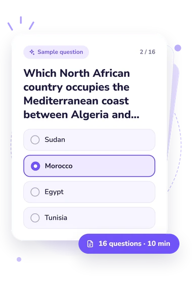
Example Questions From the Test
- Sinai Peninsula
- Cyrenaica
- Nile Delta
- Western Sahara
- Sudan
- Morocco
- Egypt
- Tunisia
- Namib Desert
- Kalahari Desert
- Sahara Desert
- Danakil Desert
North Africa Map Quiz - Description and methodology of the test
For learners, travelers, and curious readers, the North Africa Map Quiz offers a focused way to check how regional geography fits together. A result from this North Africa quiz shows whether you can use neighboring countries, coastlines, deserts, rivers, and landforms as spatial clues. It is useful for a quick map-based self-check before studying, teaching, or planning travel.
What This Assessment Explores
As a map quiz about northern Africa, this questionnaire builds a mental map from relationships, not isolated names. Questions use disputed territory, neighboring states, coastlines, and mainland travel, while physical features provide location clues.
The recurring question themes are:
- Country positions and borders show whether you place states accurately beside their neighbors.
- Coasts and waters show whether you distinguish the Mediterranean, Atlantic, Red Sea, gulfs, and straits.
- Physical landmarks show how deserts, rivers, mountains, salt lakes, and peninsulas guide location.
- Directional clues show whether routes and neighboring countries help you infer position.
Together, these map skills feed one overall North Africa Knowledge score (0-16). Starting Bearings (0-6) marks features that are familiar but easily confused; Developing Map Knowledge (7-12) reflects a useful framework with gaps; Strong North Africa Knowledge (13-16) indicates accurate inference from borders, coasts, and landforms. The quiz uses a defined scope, while regional definitions vary.
Methodology and Evidence Base
Each item presents one question with four answer choices. Some prompts ask for direct identification; others require route-based reasoning from a neighboring country, coast, gulf, river, or mountain range. Country-placement items test knowledge of North African countries, making the activity a quiz about countries in North Africa as well as a broader map exercise.
Scoring uses the number of correct responses. No separate weighting or personality interpretation is stated, so the outcome represents performance on this geography questionnaire rather than personal traits. The online quiz about Northern Africa provides a self-test, while the single result summarizes performance across the items.
The geographic content connects the Mediterranean and Atlantic margins with the Sahara interior, the Red Sea edge, the Atlas Mountains, and named waterways. These relationships help respondents use position, direction, borders, and landforms rather than recall isolated labels.
Interpret results as a snapshot shaped by recall, map familiarity, schooling, travel, language, and attention; the bands describe performance on these 16 items and should not be generalized to overall geographic expertise.
- Mutri, Giuseppina. “North and Saharan Africa: Geography and Chronology.” In Encyclopedia of Global Archaeology, edited by Claire Smith, pp. 5435-5453. Springer, 2014. 10.1007/978-1-4419-0465-2_1878.
- Connah, Graham. “The Mediterranean Frontier: North Africa.” In African Civilizations: An Archaeological Perspective, pp. 43-68. Cambridge University Press, 2015. 10.1017/CBO9780511997617.004.
- Hughes, Philip D., C. R. Fenton, and Philip L. Gibbard. “Quaternary Glaciations of the Atlas Mountains, North Africa.” In Developments in Quaternary Science, vol. 15, pp. 1065-1074. Elsevier, 2011. 10.1016/B978-0-444-53447-7.00076-3.